Transport Functions
Multimodal
Hub Profile
Place type
Local administrative seat
Region
Baden-Wurttemberg
Population
908
Time zone
Europe/Berlin
Elevation
510 m
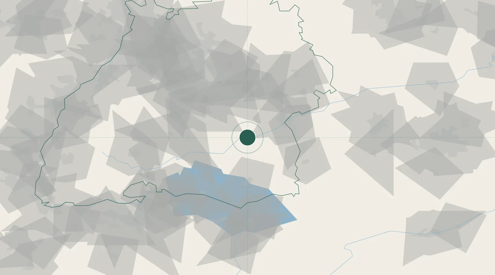
Location
Nearby Logistics Neighbours
Cities
- 1Rottenacker5 km
- 2Uttenweiler9 km
- 3Ehingen10 km
- 4Anhausen10 km
- 5Hayingen11 km
Ports
- 1Porto Di Lido-Venezia379 km
- 2Nogaro385 km
- 3Porto Di Chioggia391 km
- 4Grado397 km
- 5Monfalcone404 km
Airports
- 1Laupheim Air Base22 km
- 2Mengen-Hohentengen Airfield27 km
- 3Memmingen Allgau Airport54 km
- 4Stuttgart Airport59 km
- 5Bodensee Airport Friedrichshafen63 km
Trade Zones
- 1ZFU Neuhof141 km
- 2ZFU Hautepierre148 km
- 3ZFU Mulhouse178 km
- 4Livigno Free Trade Zone193 km
- 5ZFU Belfort219 km
DatabookThe Record of Consolidated Knowledge
Germany beyond logistics?