Large airport · Germany
Memmingen Allgau AirportEDJA
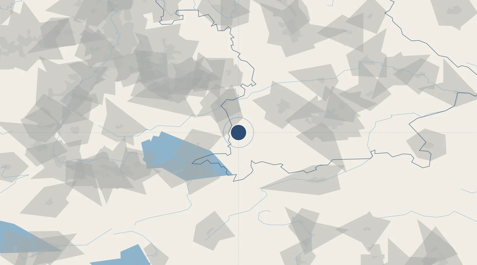
47.9881°, 10.2382°
8,629 ft
Longest runway
1
Runways
2,077 ft
Elevation
Runway & Layout

Radio Frequencies
ATIS
118.855 MHz
Memmingen ATIS
TWR
126.855 MHz
Memmingen Tower / Turm
GND
121.68 MHz
Memmingen Ground / Rollkontrolle
AFIS
126.95 MHz
Langen Information
Runways · 1
| Runway | Dimensions | Surface | True heading | Lit |
|---|---|---|---|---|
| 06/24 | 8,629 × 148ft | Asphalt | 059° | ✓ |
Airport Specifications
IATA code
FMM
ICAO code
EDJA
Airport class
Large airport
Scheduled service
Yes
Runway surface
Asphalt
Served city
Memmingen
Location
Nearby Logistics Neighbours
Airports
- 1Laupheim Air Base36 km
- 2Lechfeld Air Base51 km
- 3Bodensee Airport Friedrichshafen65 km
- 4Mengen-Hohentengen Airfield65 km
- 5Augsburg Airport71 km
Cities
- 1Memmingerberg2 km
- 2Benningen3 km
- 3Ungerhausen4 km
- 4Wald5 km
- 5Lauben (Unterallgäu)8 km
Ports
- 1Porto Di Lido-Venezia331 km
- 2Nogaro333 km
- 3Porto Di Chioggia344 km
- 4Grado345 km
- 5Monfalcone351 km
Trade Zones
- 1Livigno Free Trade Zone162 km
- 2ZFU Neuhof193 km
- 3ZFU Hautepierre200 km
- 4ZFU Mulhouse218 km
- 5Freeport of Deggendorf219 km
DatabookThe Record of Consolidated Knowledge
Germany beyond logistics?