Transport Functions
Road
Multimodal
Hub Profile
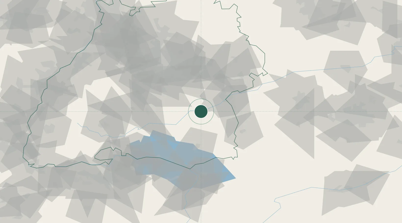
Place type
Local administrative seat
Region
Baden-Wurttemberg
Population
2,192
Time zone
Europe/Berlin
Elevation
523 m
Location
Nearby Logistics Neighbours
Cities
- 1Untermarchtal5 km
- 2Ehingen7 km
- 3Uttenweiler11 km
- 4Schemmerberg11 km
- 5Anhausen15 km
Ports
- 1Porto Di Lido-Venezia377 km
- 2Nogaro381 km
- 3Porto Di Chioggia389 km
- 4Grado393 km
- 5Monfalcone400 km
Airports
- 1Laupheim Air Base17 km
- 2Mengen-Hohentengen Airfield31 km
- 3Memmingen Allgau Airport49 km
- 4Stuttgart Airport61 km
- 5Bodensee Airport Friedrichshafen64 km
Trade Zones
- 1ZFU Neuhof146 km
- 2ZFU Hautepierre152 km
- 3ZFU Mulhouse183 km
- 4Livigno Free Trade Zone192 km
- 5ZFU Belfort224 km
DatabookThe Record of Consolidated Knowledge
Germany beyond logistics?