Transport Functions
Road
Multimodal
Hub Profile
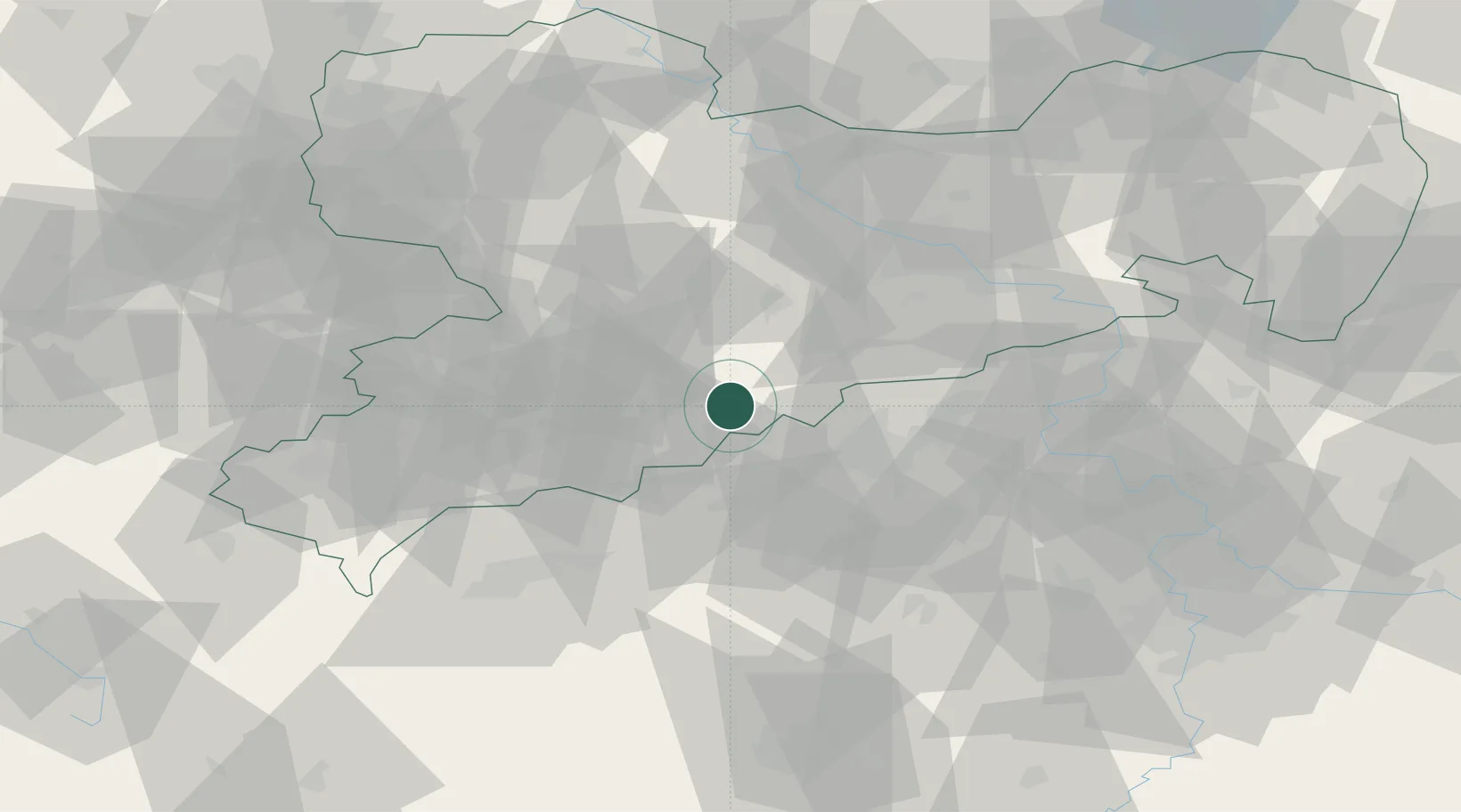
Place type
Populated place
Region
Saxony
Time zone
Europe/Berlin
Elevation
227 m
Location
Nearby Logistics Neighbours
Cities
- 1Lauta6 km
- 2Olbernhau7 km
- 3Wolkenstein12 km
- 4Mildenau12 km
- 5Thermalbad Wiesenbad14 km
Ports
- 1Szczecin321 km
- 2Police337 km
- 3Swinoujscie370 km
- 4Wolgast380 km
- 5Wismar381 km
Airports
- 1Karlovy Vary Airport55 km
- 2Leipzig–Altenburg Airport63 km
- 3Dresden Airport66 km
- 4Václav Havel Airport Prague95 km
- 5Vodochody Airport95 km
Trade Zones
DatabookThe Record of Consolidated Knowledge
Germany beyond logistics?