Transport Functions
Rail
Road
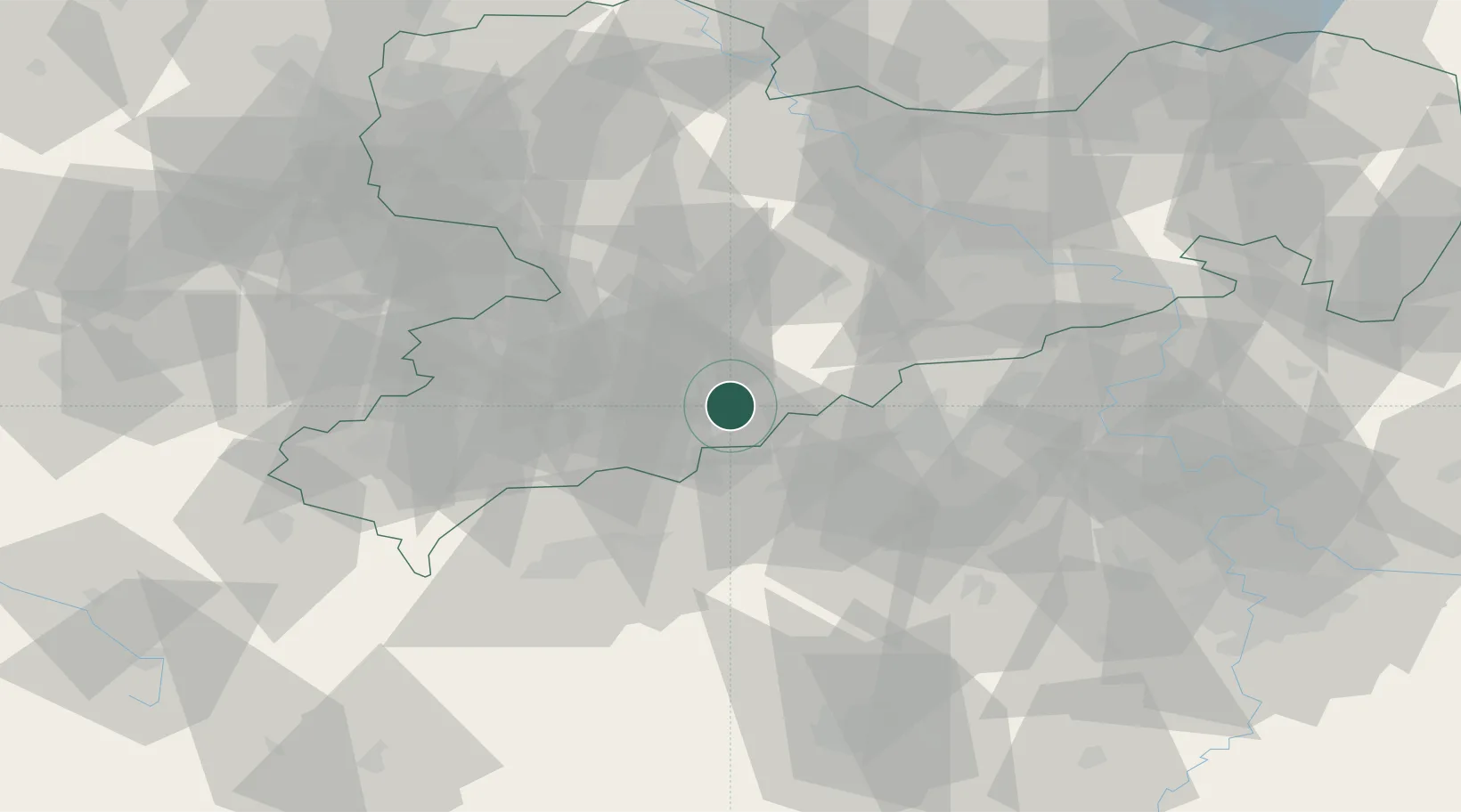
Hub Profile
Place type
Local administrative seat
Region
Saxony
Population
3,749
Time zone
Europe/Berlin
Elevation
583 m
Location
Nearby Logistics Neighbours
Cities
- 1Thermalbad Wiesenbad3 km
- 2Wolkenstein6 km
- 3Wiesa6 km
- 4Königswalde6 km
- 5Lauta9 km
Ports
- 1Szczecin329 km
- 2Police345 km
- 3Swinoujscie378 km
- 4Wismar383 km
- 5Wolgast387 km
Airports
- 1Karlovy Vary Airport46 km
- 2Leipzig–Altenburg Airport59 km
- 3Dresden Airport76 km
- 4Hof-Plauen Airport94 km
- 5Václav Havel Airport Prague100 km
Trade Zones
DatabookThe Record of Consolidated Knowledge
Germany beyond logistics?