Transport Functions
Multimodal
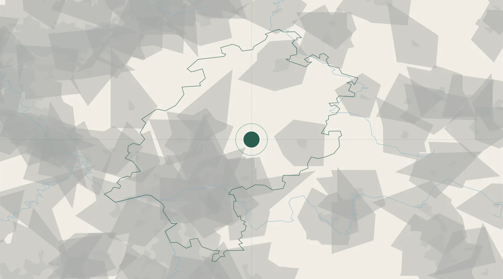
Hub Profile
Place type
Populated place
Region
Hesse
Population
3,258
Time zone
Europe/Berlin
Elevation
578 m
Location
Nearby Logistics Neighbours
Cities
- 1Altenhain8 km
- 2Lauterbach15 km
- 3Angersbach17 km
- 4Homberg21 km
- 5Hirzenhain21 km
Airports
- 1Fritzlar Army Airfield59 km
- 2Frankfurt Main Airport77 km
- 3Frankfurt-Egelsbach Airport80 km
- 4Siegerland Airport80 km
- 5Wiesbaden Army Airfield86 km
Trade Zones
- 1Rheinische Revier SWZ202 km
- 2Freeport of Duisburg206 km
- 3ZFU La Cité Behren-lès-Forbach227 km
- 4Luxembourg Free Port237 km
- 5ZFU Hautepierre246 km
DatabookThe Record of Consolidated Knowledge
Germany beyond logistics?