Transport Functions
Rail
Road
Hub Profile
Place type
Populated place
Region
Hesse
Time zone
Europe/Berlin
Elevation
388 m
Location
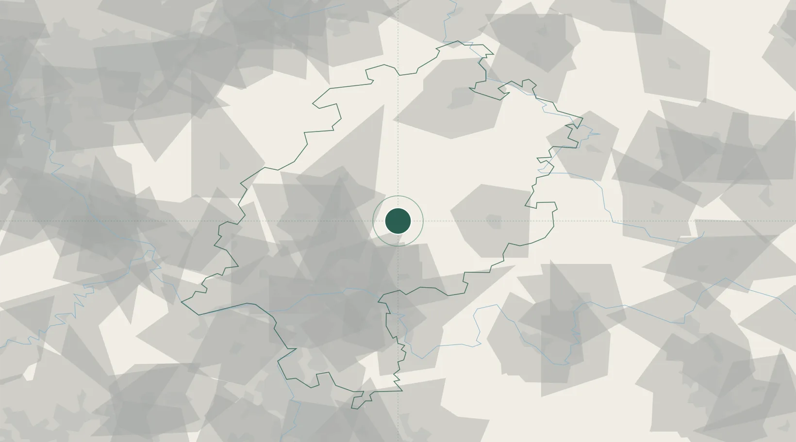
Nearby Logistics Neighbours
Cities
- 1Ulrichstein8 km
- 2Hirzenhain17 km
- 3Homberg20 km
- 4Lich20 km
- 5Birklar21 km
Airports
- 1Fritzlar Army Airfield64 km
- 2Frankfurt Main Airport70 km
- 3Frankfurt-Egelsbach Airport73 km
- 4Siegerland Airport74 km
- 5Wiesbaden Army Airfield78 km
Trade Zones
- 1Rheinische Revier SWZ196 km
- 2Freeport of Duisburg202 km
- 3ZFU La Cité Behren-lès-Forbach219 km
- 4Luxembourg Free Port229 km
- 5ZFU Hautepierre240 km
DatabookThe Record of Consolidated Knowledge
Germany beyond logistics?