Transport Functions
Rail
Road
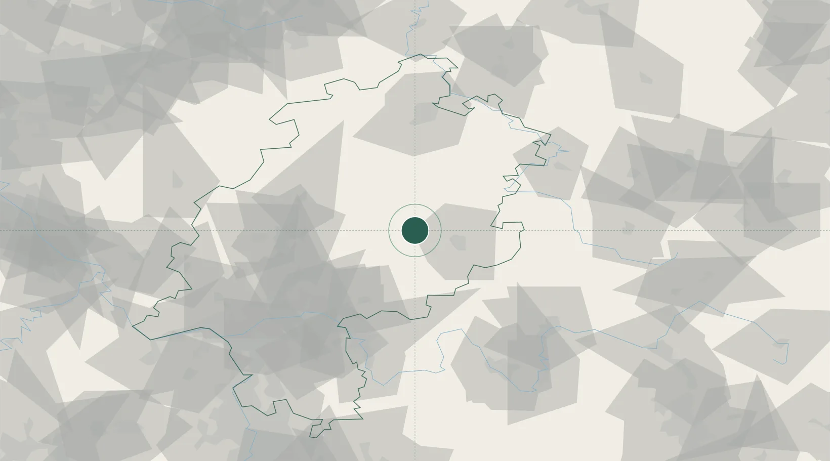
Hub Profile
Place type
Populated place
Region
Hesse
Time zone
Europe/Berlin
Elevation
264 m
Location
Nearby Logistics Neighbours
Cities
- 1Lauterbach3 km
- 2Grossenlüder8 km
- 3Schlitz11 km
- 4Grebenau15 km
- 5Ulrichstein17 km
Airports
- 1Fritzlar Army Airfield56 km
- 2Eisenach-Kindel Airport85 km
- 3Kassel Airport89 km
- 4Frankfurt Main Airport90 km
- 5Frankfurt-Egelsbach Airport92 km
Trade Zones
- 1Rheinische Revier SWZ217 km
- 2Freeport of Duisburg219 km
- 3ZFU La Cité Behren-lès-Forbach241 km
- 4Luxembourg Free Port253 km
- 5ZFU Hautepierre258 km
DatabookThe Record of Consolidated Knowledge
Germany beyond logistics?