Transport Functions
Rail
Road
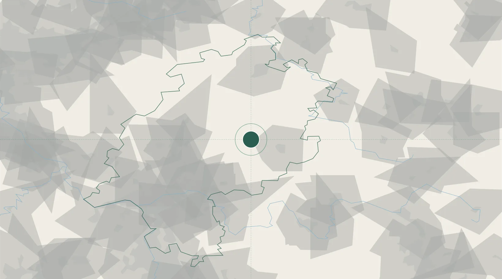
Hub Profile
Place type
District seat
Region
Hesse
Population
14,487
Time zone
Europe/Berlin
Elevation
291 m
Location
Nearby Logistics Neighbours
Cities
- 1Angersbach3 km
- 2Grossenlüder11 km
- 3Schlitz12 km
- 4Grebenau14 km
- 5Ulrichstein15 km
Airports
- 1Fritzlar Army Airfield54 km
- 2Eisenach-Kindel Airport86 km
- 3Kassel Airport87 km
- 4Frankfurt Main Airport90 km
- 5Frankfurt-Egelsbach Airport92 km
Trade Zones
- 1Rheinische Revier SWZ215 km
- 2Freeport of Duisburg216 km
- 3ZFU La Cité Behren-lès-Forbach241 km
- 4Luxembourg Free Port252 km
- 5ZFU Hautepierre258 km
DatabookThe Record of Consolidated Knowledge
Germany beyond logistics?