Transport Functions
Rail
Road
Hub Profile
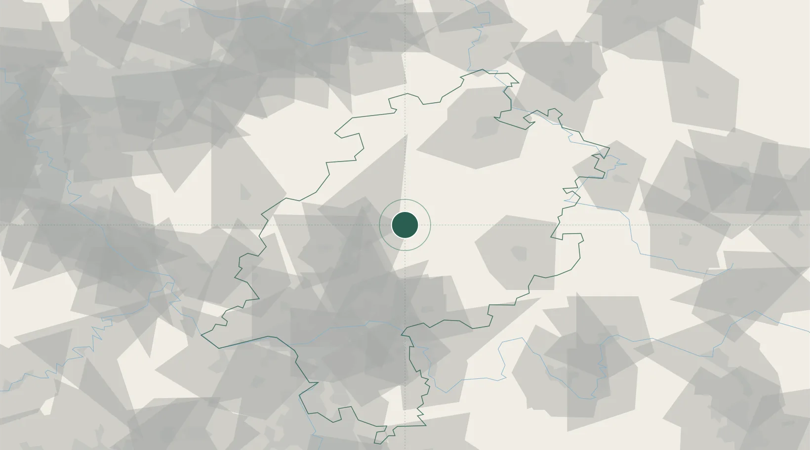
Place type
Populated place
Region
Hesse
Population
7,863
Time zone
Europe/Berlin
Elevation
243 m
Location
Nearby Logistics Neighbours
Cities
- 1Stadtallendorf13 km
- 2Neustadt17 km
- 3Niederweimar20 km
- 4Altenhain20 km
- 5Grossen Buseck20 km
Airports
- 1Fritzlar Army Airfield49 km
- 2Siegerland Airport65 km
- 3Kassel Airport83 km
- 4Frankfurt Main Airport83 km
- 5Frankfurt-Egelsbach Airport88 km
Trade Zones
- 1Rheinische Revier SWZ185 km
- 2Freeport of Duisburg187 km
- 3ZFU La Cité Behren-lès-Forbach227 km
- 4Luxembourg Free Port231 km
- 5ZFU Hautepierre254 km
DatabookThe Record of Consolidated Knowledge
Germany beyond logistics?