Transport Functions
Port
Rail
Road
Hub Profile
Place type
Local administrative seat
Region
Hesse
Population
3,026
Time zone
Europe/Berlin
Elevation
294 m
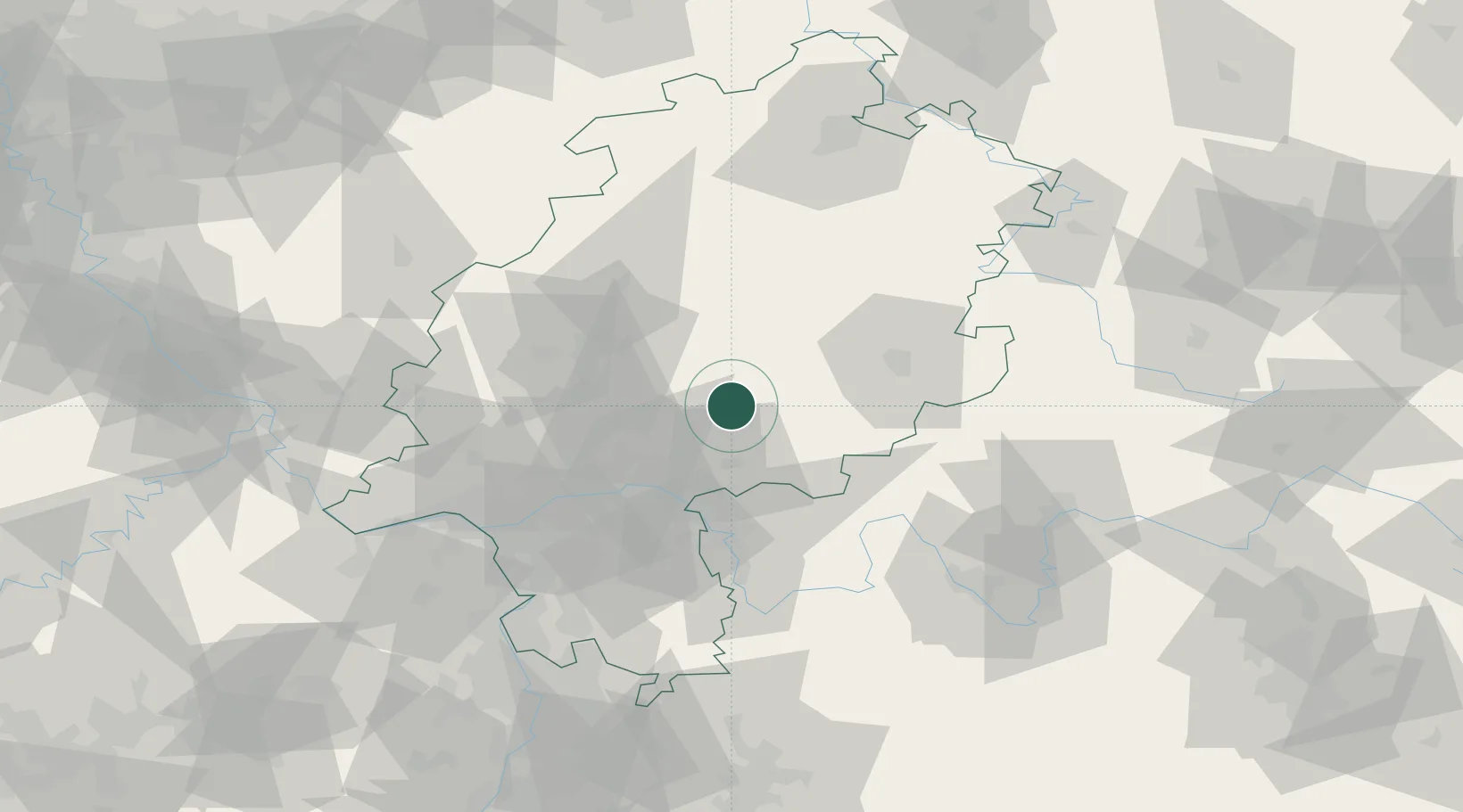
Location
Nearby Logistics Neighbours
Cities
- 1Kefenrod7 km
- 2Ranstadt12 km
- 3Glauburg13 km
- 4Altenhain17 km
- 5Freiensteinau19 km
Airports
- 1Frankfurt Main Airport58 km
- 2Frankfurt-Egelsbach Airport60 km
- 3Wiesbaden Army Airfield69 km
- 4Fritzlar Army Airfield80 km
- 5Siegerland Airport82 km
Trade Zones
- 1Rheinische Revier SWZ202 km
- 2ZFU La Cité Behren-lès-Forbach209 km
- 3Freeport of Duisburg213 km
- 4Luxembourg Free Port225 km
- 5ZFU Hautepierre226 km
DatabookThe Record of Consolidated Knowledge
Germany beyond logistics?