Transport Functions
Road
Multimodal
Hub Profile
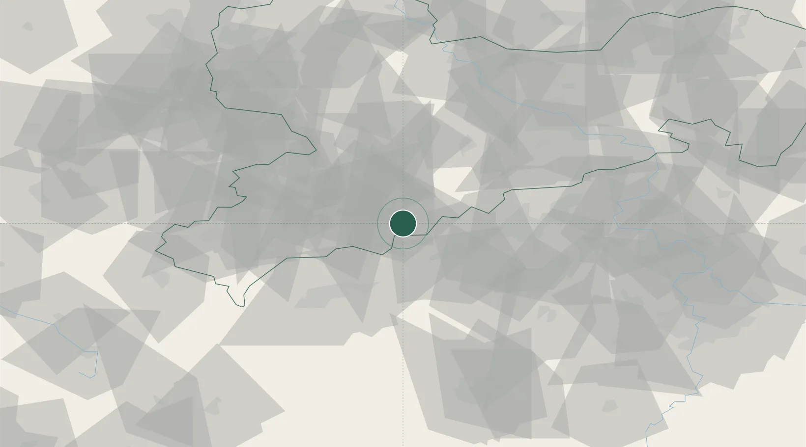
Place type
Local administrative seat
Region
Saxony
Population
2,477
Time zone
Europe/Berlin
Elevation
562 m
Location
Nearby Logistics Neighbours
Cities
- 1Jöhstadt4 km
- 2Mildenau6 km
- 3Wiesa7 km
- 4Schlettau7 km
- 5Thermalbad Wiesenbad7 km
Ports
- 1Szczecin335 km
- 2Police351 km
- 3Swinoujscie383 km
- 4Wismar388 km
- 5Wolgast392 km
Airports
- 1Karlovy Vary Airport40 km
- 2Leipzig–Altenburg Airport61 km
- 3Dresden Airport82 km
- 4Hof-Plauen Airport90 km
- 5Plzeň-Líně Airport99 km
Trade Zones
DatabookThe Record of Consolidated Knowledge
Germany beyond logistics?