Transport Functions
Multimodal
Hub Profile
Place type
Populated place
Region
Baden-Wurttemberg
Time zone
Europe/Berlin
Elevation
128 m
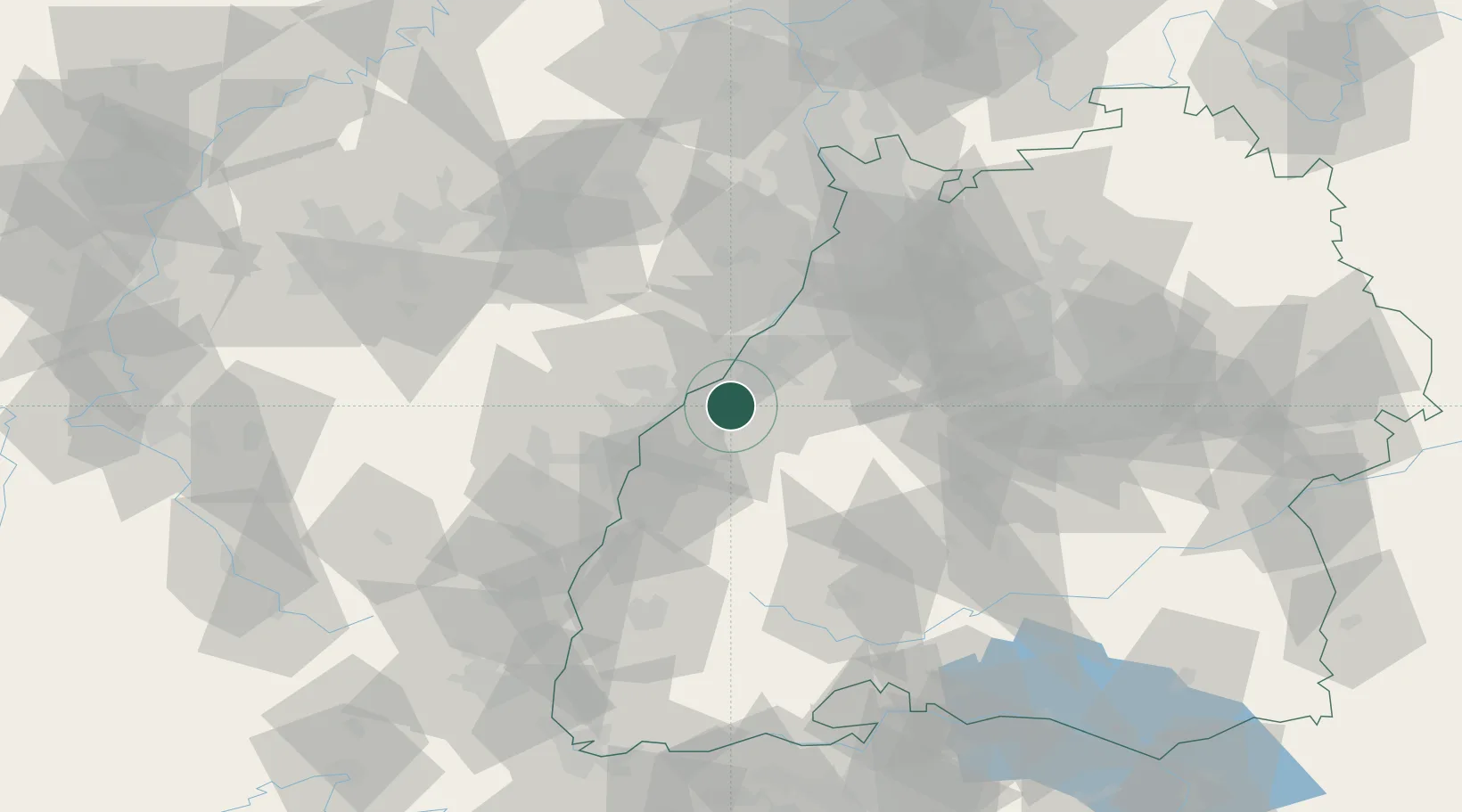
Location
Nearby Logistics Neighbours
Cities
- 1Bühl4 km
- 2Sinzheim7 km
- 3Stollhofen7 km
- 4Lichtenau (Baden)9 km
- 5Greffern/Rheinmünster9 km
Airports
- 1Karlsruhe Baden-Baden Airport8 km
- 2Strasbourg Airport41 km
- 3Lahr Airport44 km
- 4Phalsbourg-Bourscheid Air Base67 km
- 5Stuttgart Airport81 km
Trade Zones
- 1ZFU Neuhof33 km
- 2ZFU Hautepierre34 km
- 3ZFU La Cité Behren-lès-Forbach100 km
- 4ZFU Mulhouse122 km
- 5ZFU Maxéville, Laxou, et de Nancy143 km
DatabookThe Record of Consolidated Knowledge
Germany beyond logistics?