Transport Functions
Road
Multimodal
Hub Profile
Place type
Local administrative seat
Region
Rheinland-Pfalz
Population
388
Time zone
Europe/Berlin
Elevation
283 m
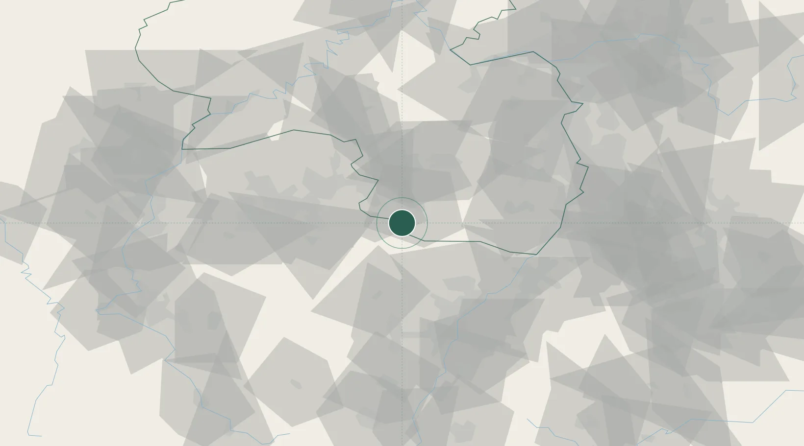
Location
Nearby Logistics Neighbours
Cities
- 1Rieschweiler-Mühlbach11 km
- 2Ruppertsweiler14 km
- 3Münchweiler an der Rodalbe16 km
- 4Zweibrücken17 km
- 5Waldfischbach-Burgalben17 km
Airports
- 1Saarbrücken Airport31 km
- 2Ramstein Air Base34 km
- 3Phalsbourg-Bourscheid Air Base47 km
- 4Karlsruhe Baden-Baden Airport57 km
- 5Strasbourg Airport67 km
Trade Zones
- 1ZFU La Cité Behren-lès-Forbach43 km
- 2ZFU Hautepierre61 km
- 3ZFU Neuhof68 km
- 4ZFU Metz99 km
- 5ZFU Woippy-Metz100 km
DatabookThe Record of Consolidated Knowledge
Germany beyond logistics?