Transport Functions
Rail
Road
Hub Profile
Region
RP
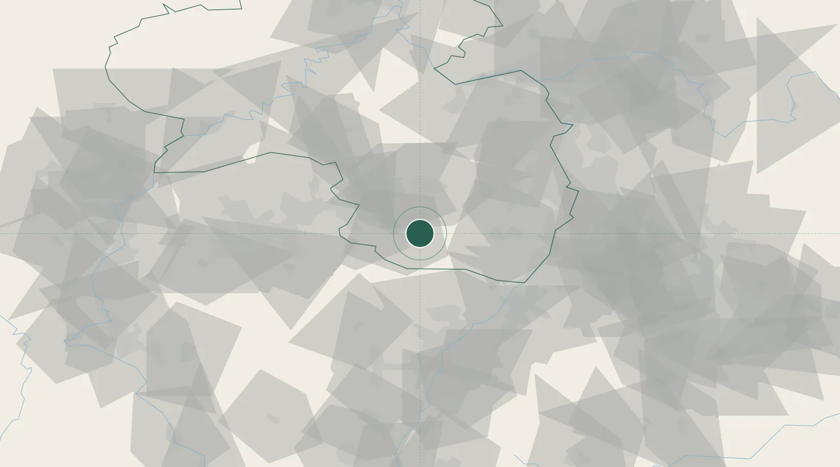
Location
Nearby Logistics Neighbours
Cities
- 1Ruppertsweiler2 km
- 2Hinterweidenthal4 km
- 3Merzalben4 km
- 4Clausen6 km
- 5Leimen (Pfalz)9 km
Airports
- 1Ramstein Air Base26 km
- 2Saarbrücken Airport43 km
- 3Karlsruhe Baden-Baden Airport56 km
- 4Phalsbourg-Bourscheid Air Base62 km
- 5Mannheim-City Airport66 km
Trade Zones
- 1ZFU La Cité Behren-lès-Forbach56 km
- 2ZFU Hautepierre69 km
- 3ZFU Neuhof75 km
- 4ZFU Metz113 km
- 5ZFU Woippy-Metz113 km
DatabookThe Record of Consolidated Knowledge
Germany beyond logistics?