UN/LOCODE hub · Germany
DEWFB

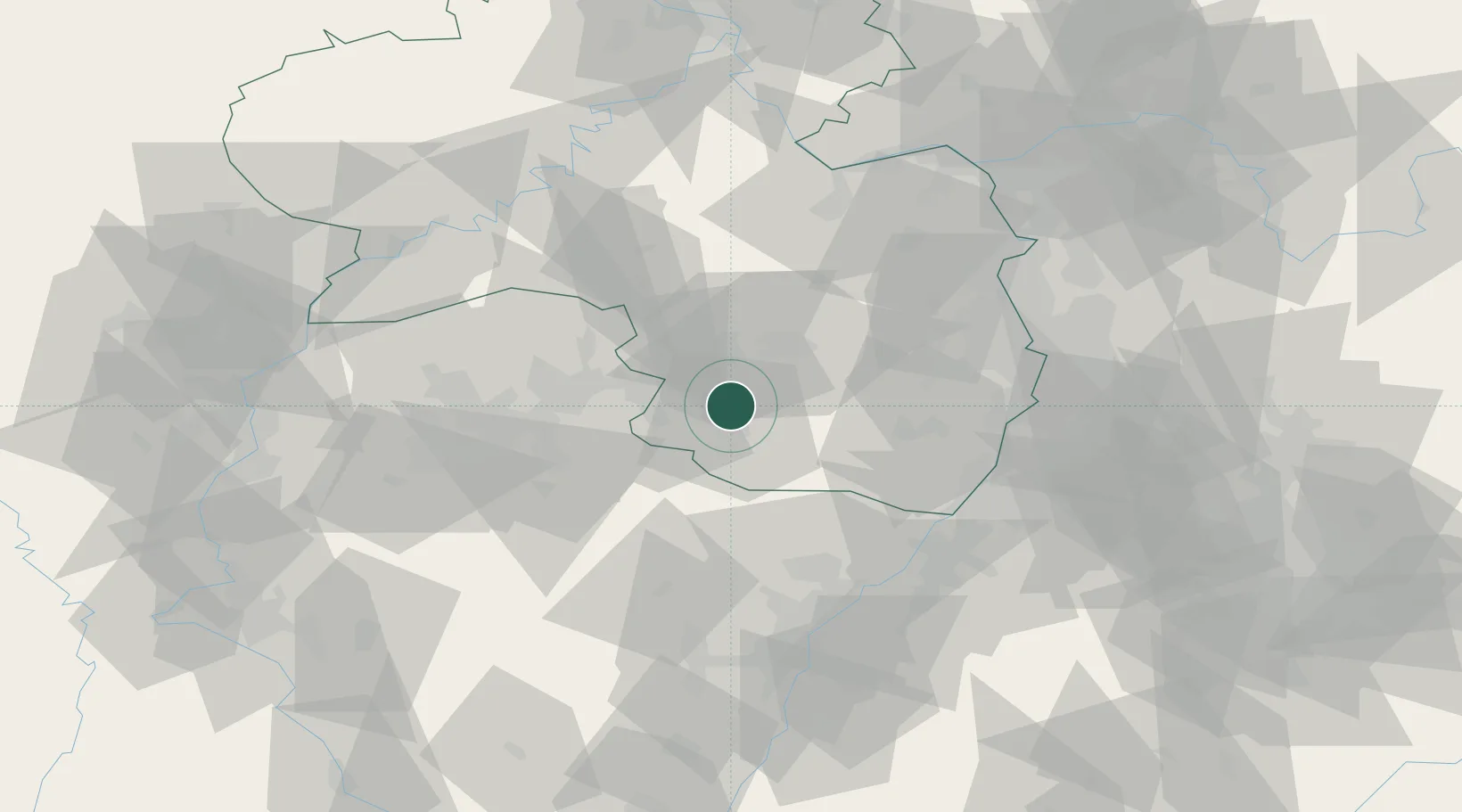
Waldfischbach-Burgalben

49.2833°, 7.5833°
5,111
Population
2
Transport functions

Transport Functions

Rail
Road
UN/LOCODE

Hub Profile

Place type
Local administrative seat
GeoNames
Region
Rheinland-Pfalz
GeoNames
Population
5,111
GeoNames
Time zone
Europe/Berlin
GeoNames
Elevation
352 m
GeoNames

Location

Location of DEWFB
Natural Earth 10m (public domain) · Rheinland-Pfalz · DEWFB · 49.28, 7.58GoogleOSMYandex

Nearby Logistics Neighbours

Cities
  1. 1Steinalben6 km
  2. 2Schwanenmühle6 km
  3. 3Clausen8 km
  4. 4Rieschweiler-Mühlbach8 km
  5. 5Wiesbach11 km
Nearest neighbours — logibook spatial index (haversine) over the source coordinates
Ports
  1. 1Bruxelles290 km
  2. 2Antwerpen312 km
  3. 3Ghent338 km
  4. 4Dordrecht350 km
  5. 5Hansweert350 km
Nearest neighbours — logibook spatial index (haversine) over the source coordinates
Airports
  1. 1Ramstein Air Base17 km
  2. 2Saarbrücken Airport35 km
  3. 3Phalsbourg-Bourscheid Air Base64 km
  4. 4Karlsruhe Baden-Baden Airport67 km
  5. 5Mannheim-City Airport71 km
Nearest neighbours — logibook spatial index (haversine) over the source coordinates
Trade Zones
  1. 1ZFU La Cité Behren-lès-Forbach49 km
  2. 2ZFU Hautepierre77 km
  3. 3ZFU Neuhof84 km
  4. 4ZFU Metz105 km
  5. 5ZFU Woippy-Metz105 km
Nearest neighbours — logibook spatial index (haversine) over the source coordinates
DatabookThe Record of Consolidated Knowledge
Germany beyond logistics?
Browse databook

All Sources

LocationsUN/LOCODE
UN/LOCODE — free
LocationsGeoNames
CC BY 4.0
Portsthe NGA World Port Index
Public domain (US gov)
AirportsOurAirports
Public domain
Trade Zonesthe World Bank SEZ database
CC BY 4.0
Trade ZonesOpen Zone Map
CC BY
← Germany locations