Transport Functions
Rail
Road
Hub Profile
Region
RP
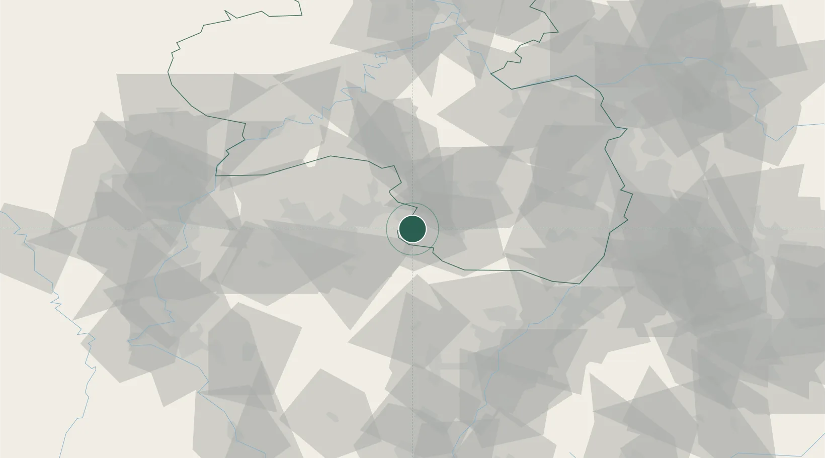
Location
Nearby Logistics Neighbours
Cities
- 1Blieskastel9 km
- 2Rieschweiler-Mühlbach10 km
- 3Wiesbach11 km
- 4Gersheim16 km
- 5Bruchmühlbach-Miesau16 km
Airports
- 1Saarbrücken Airport19 km
- 2Ramstein Air Base27 km
- 3Phalsbourg-Bourscheid Air Base55 km
- 4Karlsruhe Baden-Baden Airport74 km
- 5Frankfurt-Hahn Airport78 km
Trade Zones
- 1ZFU La Cité Behren-lès-Forbach33 km
- 2ZFU Hautepierre77 km
- 3ZFU Neuhof84 km
- 4ZFU Metz89 km
- 5ZFU Woippy-Metz89 km
DatabookThe Record of Consolidated Knowledge
Germany beyond logistics?