Transport Functions
Rail
Road
Hub Profile
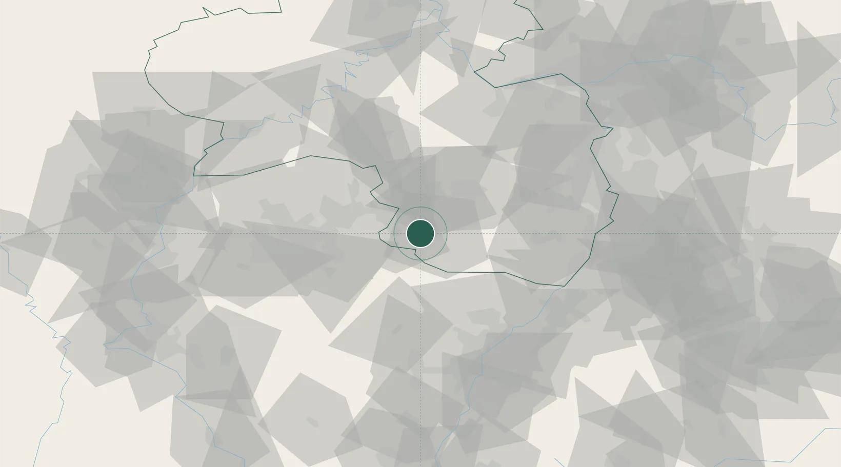
Region
RP
Location
Nearby Logistics Neighbours
Cities
- 1Waldfischbach-Burgalben8 km
- 2Zweibrücken10 km
- 3Schweix11 km
- 4Wiesbach12 km
- 5Clausen14 km
Airports
- 1Ramstein Air Base24 km
- 2Saarbrücken Airport28 km
- 3Phalsbourg-Bourscheid Air Base56 km
- 4Karlsruhe Baden-Baden Airport66 km
- 5Strasbourg Airport78 km
Trade Zones
- 1ZFU La Cité Behren-lès-Forbach42 km
- 2ZFU Hautepierre72 km
- 3ZFU Neuhof79 km
- 4ZFU Metz98 km
- 5ZFU Woippy-Metz99 km
DatabookThe Record of Consolidated Knowledge
Germany beyond logistics?