Transport Functions
Multimodal
Hub Profile
Place type
Local administrative seat
Region
Rheinland-Pfalz
Population
1,449
Time zone
Europe/Berlin
Elevation
294 m
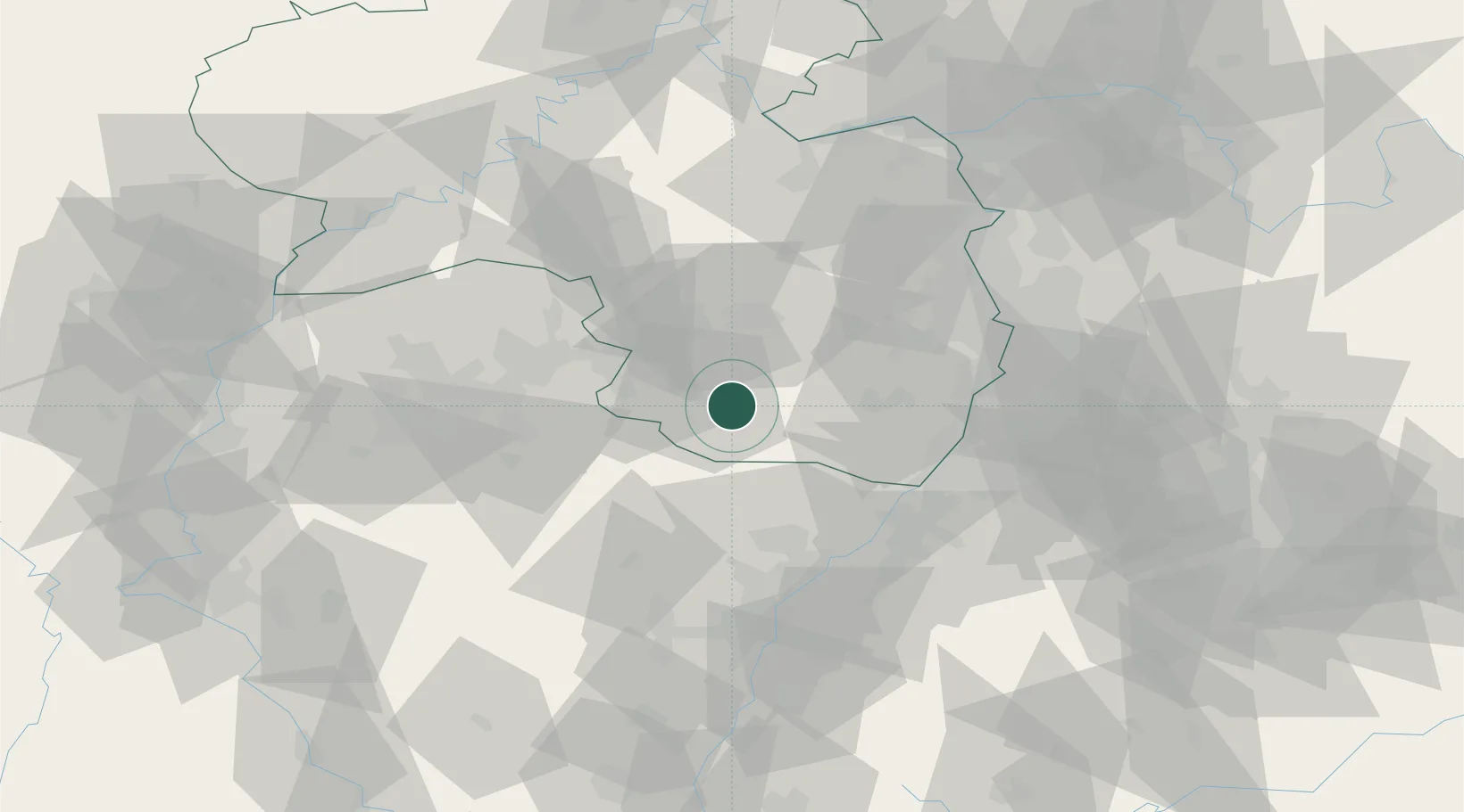
Location
Nearby Logistics Neighbours
Cities
- 1Münchweiler an der Rodalbe2 km
- 2Hinterweidenthal5 km
- 3Merzalben7 km
- 4Clausen7 km
- 5Leimen (Pfalz)11 km
Airports
- 1Ramstein Air Base27 km
- 2Saarbrücken Airport42 km
- 3Karlsruhe Baden-Baden Airport55 km
- 4Phalsbourg-Bourscheid Air Base60 km
- 5Mannheim-City Airport67 km
Trade Zones
- 1ZFU La Cité Behren-lès-Forbach55 km
- 2ZFU Hautepierre67 km
- 3ZFU Neuhof74 km
- 4ZFU Metz111 km
- 5ZFU Woippy-Metz112 km
DatabookThe Record of Consolidated Knowledge
Germany beyond logistics?