Transport Functions
Road
Multimodal
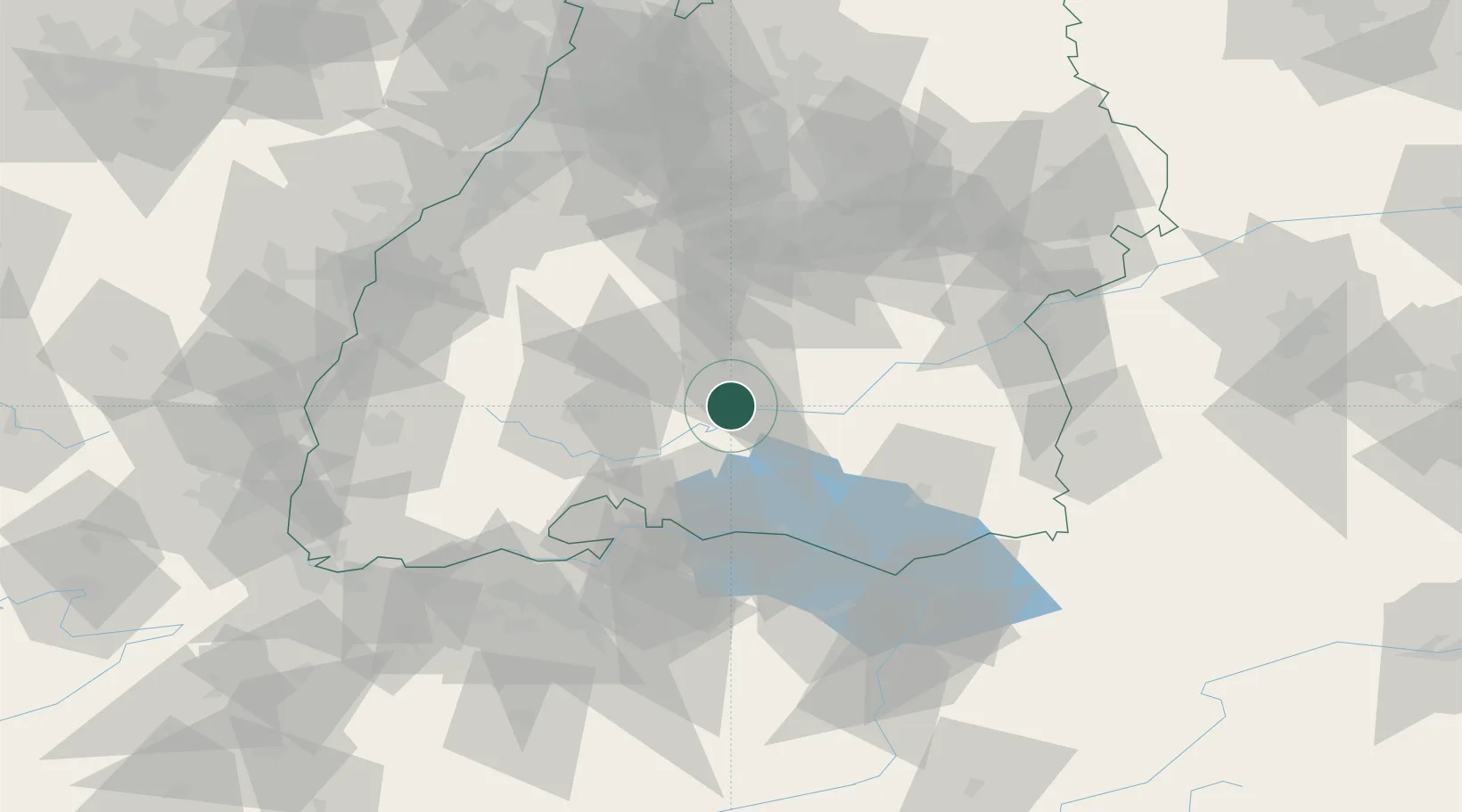
Hub Profile
Place type
Local administrative seat
Region
Baden-Wurttemberg
Population
1,563
Time zone
Europe/Berlin
Elevation
823 m
Location
Nearby Logistics Neighbours
Cities
- 1Königsheim10 km
- 2Nusplingen11 km
- 3Neuwilen13 km
- 4Bubsheim14 km
- 5Messkirch16 km
Ports
- 1Porto Di Lido-Venezia397 km
- 2Porto Di Chioggia406 km
- 3Nogaro410 km
- 4Genova412 km
- 5Grado422 km
Airports
Trade Zones
- 1ZFU Neuhof104 km
- 2ZFU Hautepierre111 km
- 3ZFU Mulhouse130 km
- 4ZFU Belfort171 km
- 5ZFU Montbéliard178 km
DatabookThe Record of Consolidated Knowledge
Germany beyond logistics?