Transport Functions
Port
Road
Hub Profile
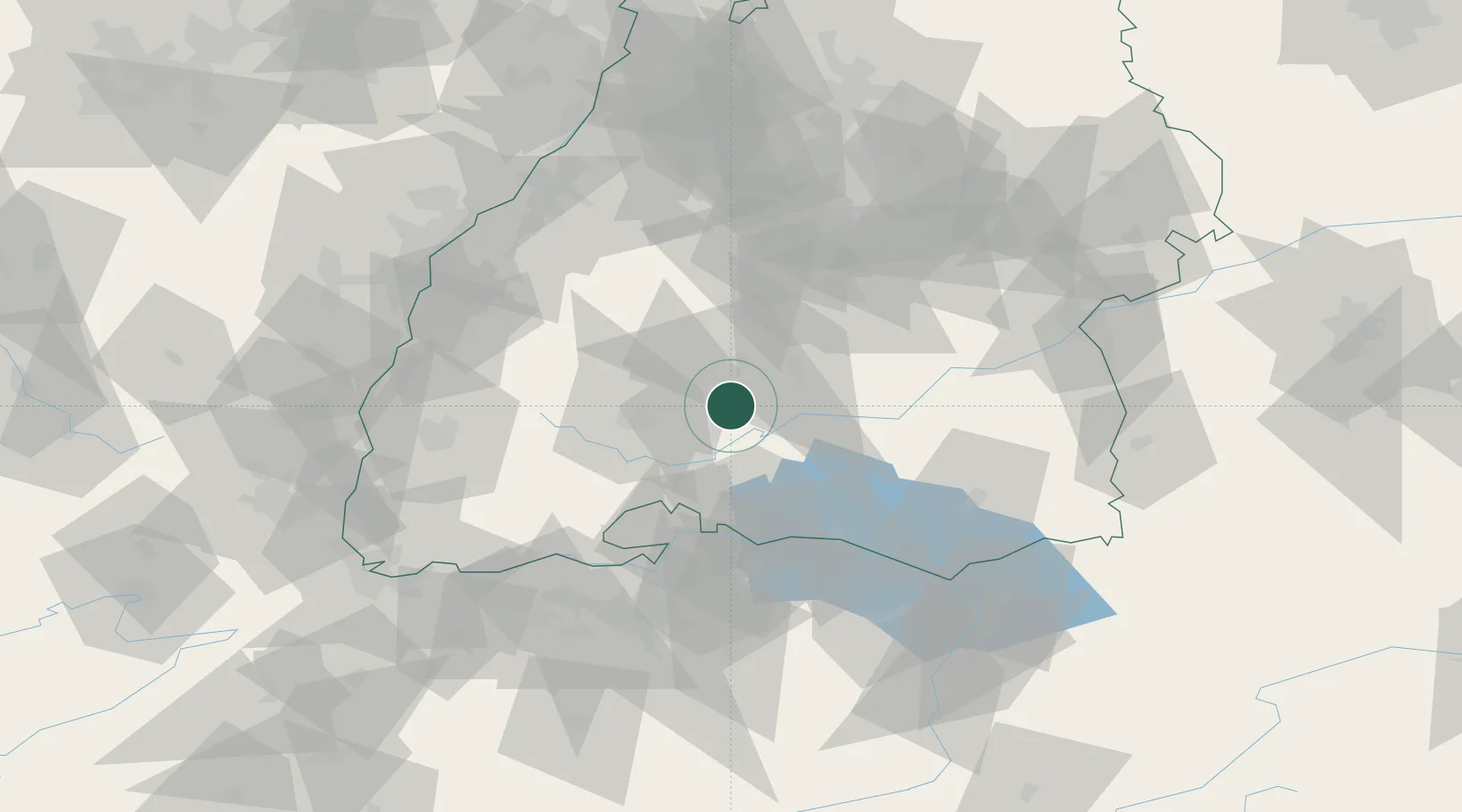
Place type
Local administrative seat
Region
Baden-Wurttemberg
Population
1,030
Time zone
Europe/Berlin
Elevation
913 m
Location
Nearby Logistics Neighbours
Cities
- 1Wehingen4 km
- 2Nusplingen4 km
- 3Königsheim4 km
- 4Dotternhausen13 km
- 5Wurmlingen13 km
Ports
- 1Porto Di Lido-Venezia407 km
- 2Genova414 km
- 3Porto Di Chioggia416 km
- 4Nogaro422 km
- 5Savona423 km
Airports
Trade Zones
- 1ZFU Neuhof91 km
- 2ZFU Hautepierre99 km
- 3ZFU Mulhouse118 km
- 4ZFU Belfort159 km
- 5ZFU Montbéliard166 km
DatabookThe Record of Consolidated Knowledge
Germany beyond logistics?