Transport Functions
Rail
Road
Hub Profile
Place type
Local administrative seat
Region
Baden-Wurttemberg
Population
538
Time zone
Europe/Berlin
Elevation
895 m
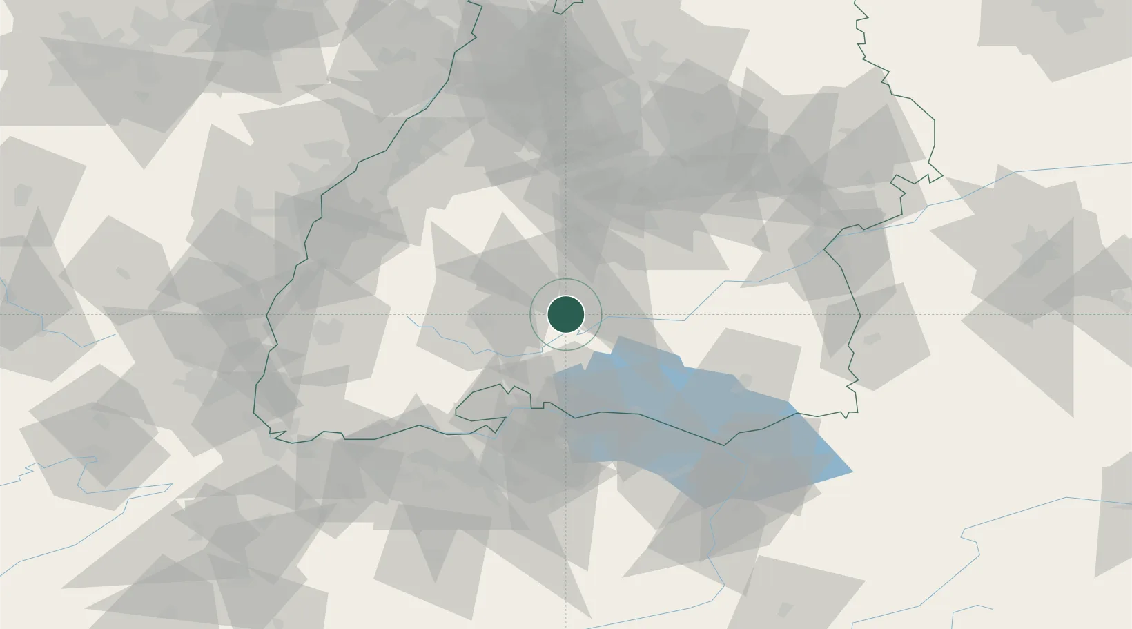
Location
Nearby Logistics Neighbours
Cities
- 1Nusplingen4 km
- 2Bubsheim4 km
- 3Wehingen7 km
- 4Schwenningen10 km
- 5Wurmlingen13 km
Ports
- 1Porto Di Lido-Venezia404 km
- 2Genova412 km
- 3Porto Di Chioggia413 km
- 4Nogaro418 km
- 5Savona422 km
Airports
Trade Zones
- 1ZFU Neuhof95 km
- 2ZFU Hautepierre103 km
- 3ZFU Mulhouse121 km
- 4ZFU Belfort162 km
- 5ZFU Montbéliard169 km
DatabookThe Record of Consolidated Knowledge
Germany beyond logistics?