Transport Functions
Road
Multimodal
Hub Profile
Place type
Local administrative seat
Region
Rheinland-Pfalz
Population
1,284
Time zone
Europe/Berlin
Elevation
534 m
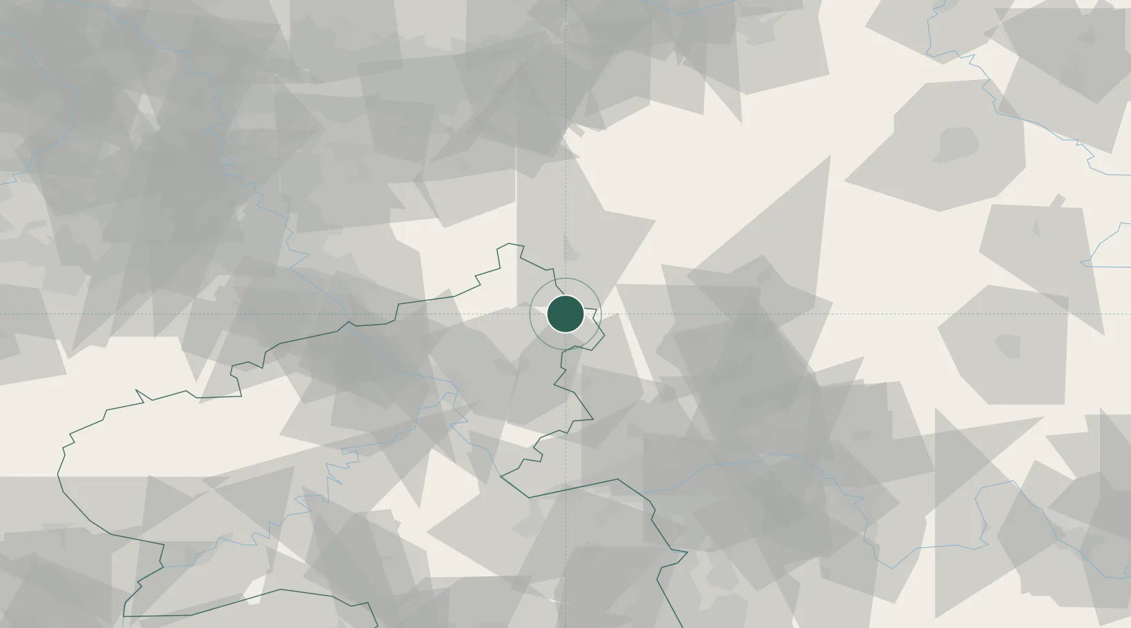
Location
Nearby Logistics Neighbours
Cities
- 1Stockhausen-Illfurth3 km
- 2Neustadt4 km
- 3Derschen6 km
- 4Hohn6 km
- 5Hardt8 km
Airports
- 1Siegerland Airport7 km
- 2Cologne Bonn Airport65 km
- 3Wiesbaden Army Airfield72 km
- 4Mainz-Finthen Airfield78 km
- 5Frankfurt Main Airport81 km
Trade Zones
- 1Rheinische Revier SWZ118 km
- 2Freeport of Duisburg132 km
- 3Luxembourg Free Port171 km
- 4ZFU La Cité Behren-lès-Forbach184 km
- 5ZFU Woippy-Metz215 km
DatabookThe Record of Consolidated Knowledge
Germany beyond logistics?