Transport Functions
Rail
Road
Hub Profile
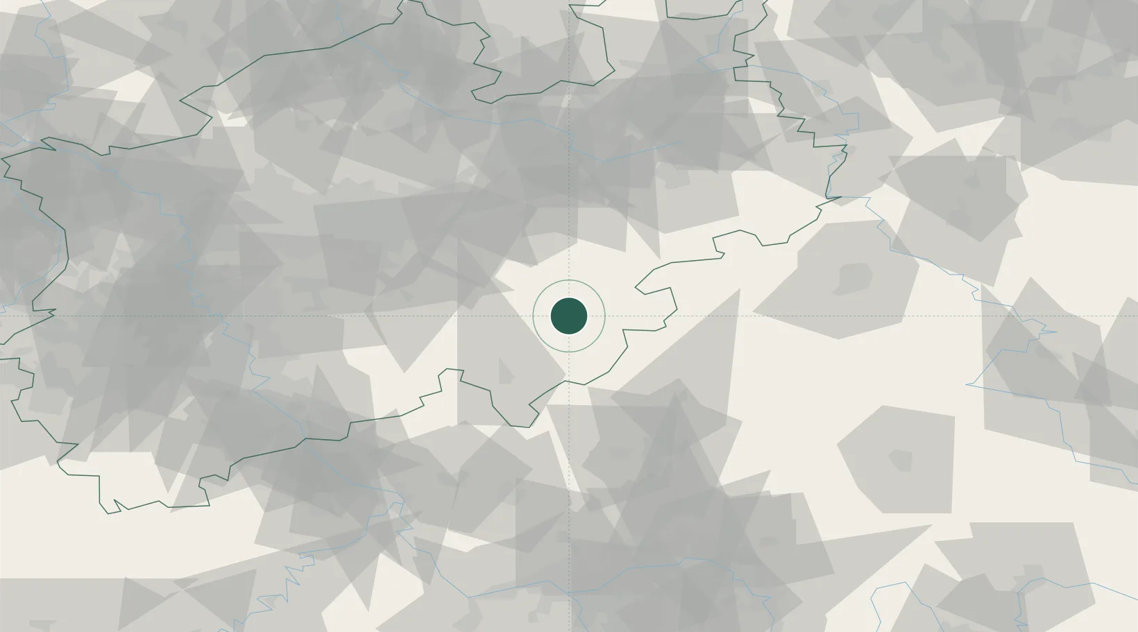
Place type
Populated place
Region
North Rhine-Westphalia
Population
26,132
Time zone
Europe/Berlin
Elevation
411 m
Location
Nearby Logistics Neighbours
Cities
- 1Bremke13 km
- 2Eslohe15 km
- 3Kirchhundem17 km
- 4Finnentrop23 km
- 5Bad Laasphe (Laasphe)25 km
Airports
- 1Siegerland Airport52 km
- 2Paderborn Lippstadt Airport56 km
- 3Dortmund Airport63 km
- 4Fritzlar Army Airfield69 km
- 5Kassel Airport82 km
Trade Zones
- 1Freeport of Duisburg124 km
- 2Rheinische Revier SWZ137 km
- 3Freeport of Bremerhaven (Freihafen Bremerhaven)218 km
- 4Luxembourg Free Port223 km
- 5ZFU La Cité Behren-lès-Forbach241 km
DatabookThe Record of Consolidated Knowledge
Germany beyond logistics?