Transport Functions
Rail
Road
Hub Profile
Place type
Local administrative seat
Region
North Rhine-Westphalia
Population
12,966
Time zone
Europe/Berlin
Elevation
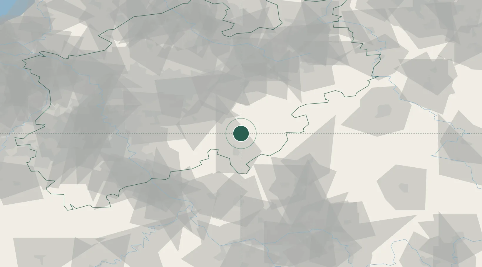
308 m
Location
Nearby Logistics Neighbours
Cities
- 1Finnentrop12 km
- 2Schmallenberg17 km
- 3Olpe17 km
- 4Eslohe19 km
- 5Bremke20 km
Airports
- 1Siegerland Airport42 km
- 2Dortmund Airport58 km
- 3Paderborn Lippstadt Airport70 km
- 4Cologne Bonn Airport70 km
- 5Fritzlar Army Airfield84 km
Trade Zones
- 1Freeport of Duisburg112 km
- 2Rheinische Revier SWZ121 km
- 3Luxembourg Free Port208 km
- 4Freeport of Bremerhaven (Freihafen Bremerhaven)228 km
- 5ZFU La Cité Behren-lès-Forbach228 km
DatabookThe Record of Consolidated Knowledge
Germany beyond logistics?