Transport Functions
Rail
Road
Hub Profile
Place type
Local administrative seat
Region
Baden-Wurttemberg
Population
3,382
Time zone
Europe/Berlin
Elevation
195 m
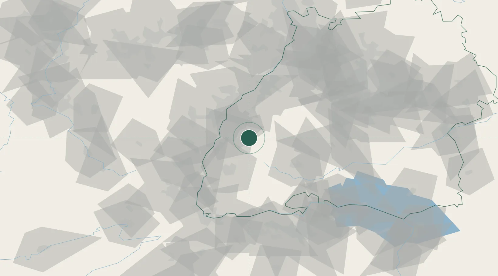
Location
Nearby Logistics Neighbours
Cities
- 1Steinach (Ortenaukreis)4 km
- 2Birach4 km
- 3Seelbach6 km
- 4Haslach im Kinzigtal7 km
- 5Schuttertal9 km
Airports
- 1Lahr Airport16 km
- 2Strasbourg Airport38 km
- 3Karlsruhe Baden-Baden Airport50 km
- 4Donaueschingen-Villingen Airfield54 km
- 5Colmar Houssen airport56 km
Trade Zones
- 1ZFU Neuhof30 km
- 2ZFU Hautepierre38 km
- 3ZFU Mulhouse83 km
- 4ZFU Belfort119 km
- 5ZFU La Cité Behren-lès-Forbach123 km
DatabookThe Record of Consolidated Knowledge
Germany beyond logistics?