Transport Functions
Rail
Road
Multimodal
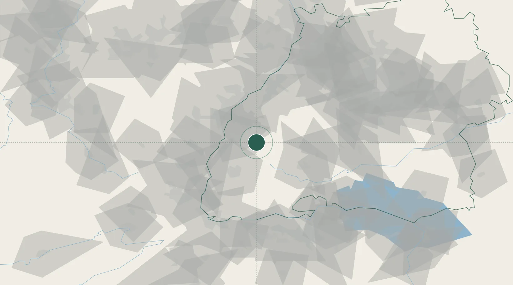
Hub Profile
Region
BW
Location
Nearby Logistics Neighbours
Cities
- 1Haslach im Kinzigtal3 km
- 2Biberach4 km
- 3Birach6 km
- 4Schuttertal7 km
- 5Seelbach8 km
Ports
- 1Bruxelles391 km
- 2Antwerpen417 km
- 3Genova439 km
- 4Savona444 km
- 5Rada Di Vado450 km
Airports
- 1Lahr Airport18 km
- 2Strasbourg Airport41 km
- 3Donaueschingen-Villingen Airfield51 km
- 4Karlsruhe Baden-Baden Airport53 km
- 5Colmar Houssen airport55 km
Trade Zones
- 1ZFU Neuhof34 km
- 2ZFU Hautepierre42 km
- 3ZFU Mulhouse81 km
- 4ZFU Belfort118 km
- 5ZFU La Cité Behren-lès-Forbach127 km
DatabookThe Record of Consolidated Knowledge
Germany beyond logistics?