Transport Functions
Rail
Road
Hub Profile
Place type
Populated place
Region
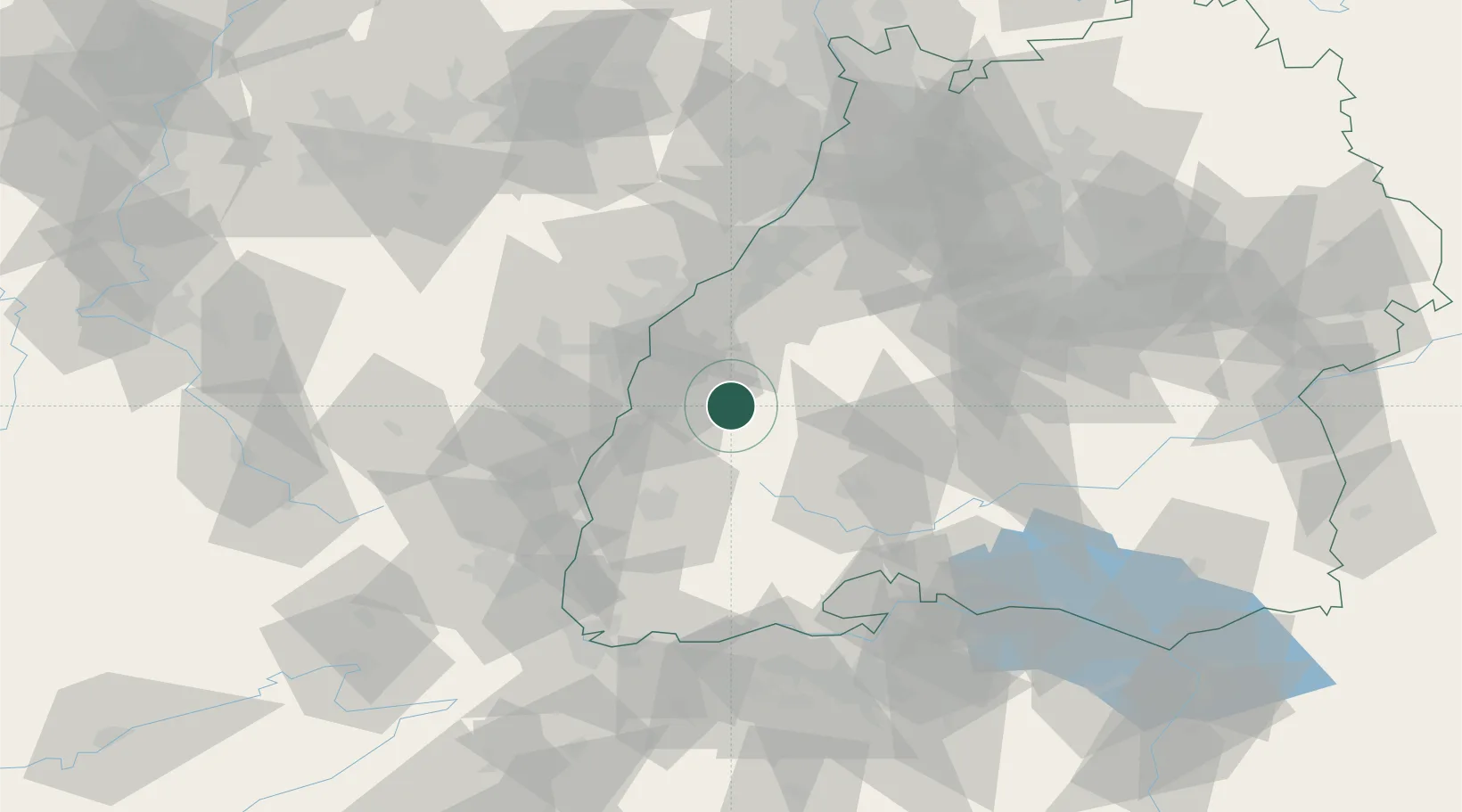
Baden-Wurttemberg
Time zone
Europe/Berlin
Elevation
232 m
Location
Nearby Logistics Neighbours
Cities
- 1Biberach4 km
- 2Steinach (Ortenaukreis)6 km
- 3Haslach im Kinzigtal7 km
- 4Schapbach8 km
- 5Seelbach11 km
Airports
- 1Lahr Airport19 km
- 2Strasbourg Airport40 km
- 3Karlsruhe Baden-Baden Airport48 km
- 4Donaueschingen-Villingen Airfield53 km
- 5Colmar Houssen airport60 km
Trade Zones
- 1ZFU Neuhof32 km
- 2ZFU Hautepierre40 km
- 3ZFU Mulhouse87 km
- 4ZFU Belfort123 km
- 5ZFU La Cité Behren-lès-Forbach124 km
DatabookThe Record of Consolidated Knowledge
Germany beyond logistics?