Transport Functions
Rail
Road
Hub Profile
Place type
Local administrative seat
Region
Baden-Wurttemberg
Population
2,501
Time zone
Europe/Berlin
Elevation
621 m
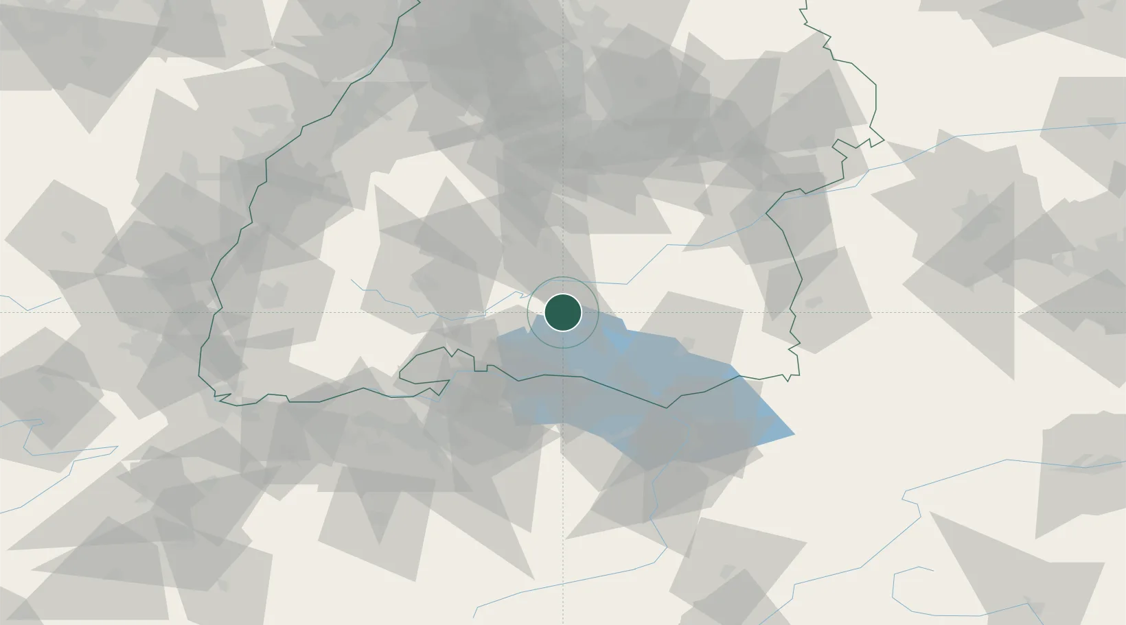
Location
Nearby Logistics Neighbours
Cities
- 1Messkirch4 km
- 2Neuwilen8 km
- 3Stockach13 km
- 4Orsingen-Nenzingen16 km
- 5Denkingen17 km
Ports
- 1Porto Di Lido-Venezia379 km
- 2Porto Di Chioggia389 km
- 3Nogaro394 km
- 4Genova395 km
- 5Chiavari - Lavagna406 km
Airports
Trade Zones
- 1ZFU Neuhof119 km
- 2ZFU Hautepierre127 km
- 3ZFU Mulhouse134 km
- 4ZFU Belfort175 km
- 5Livigno Free Trade Zone175 km
DatabookThe Record of Consolidated Knowledge
Germany beyond logistics?