Transport Functions
Rail
Road
Hub Profile
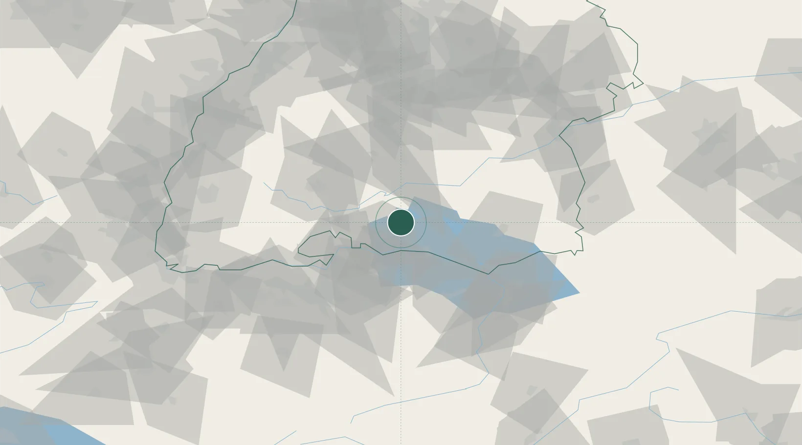
Place type
Populated place
Region
Baden-Wurttemberg
Population
16,844
Time zone
Europe/Berlin
Elevation
474 m
Location
Nearby Logistics Neighbours
Cities
- 1Orsingen-Nenzingen4 km
- 2Steisslingen8 km
- 3Eigeltingen9 km
- 4Malmsheim9 km
- 5Sauldorf13 km
Ports
- 1Porto Di Lido-Venezia376 km
- 2Genova384 km
- 3Porto Di Chioggia384 km
- 4Nogaro392 km
- 5Savona395 km
Airports
Trade Zones
- 1ZFU Neuhof121 km
- 2ZFU Mulhouse126 km
- 3ZFU Hautepierre128 km
- 4ZFU Belfort167 km
- 5Livigno Free Trade Zone168 km
DatabookThe Record of Consolidated Knowledge
Germany beyond logistics?