Transport Functions
Multimodal
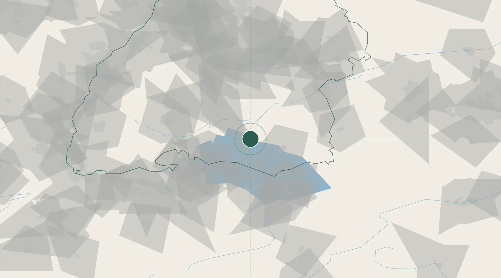
Hub Profile
Place type
Populated place
Region
Baden-Wurttemberg
Time zone
Europe/Berlin
Elevation
660 m
Location
Nearby Logistics Neighbours
Cities
- 1Ostrach8 km
- 2Heiligenberg9 km
- 3Frickingen12 km
- 4Salem13 km
- 5Deggenhausertal14 km
Ports
- 1Porto Di Lido-Venezia364 km
- 2Porto Di Chioggia374 km
- 3Nogaro377 km
- 4Grado390 km
- 5Genova391 km
Airports
Trade Zones
- 1ZFU Neuhof135 km
- 2ZFU Hautepierre143 km
- 3ZFU Mulhouse149 km
- 4Livigno Free Trade Zone163 km
- 5ZFU Belfort190 km
DatabookThe Record of Consolidated Knowledge
Germany beyond logistics?