UN/LOCODE hub · Germany
DEOGZ
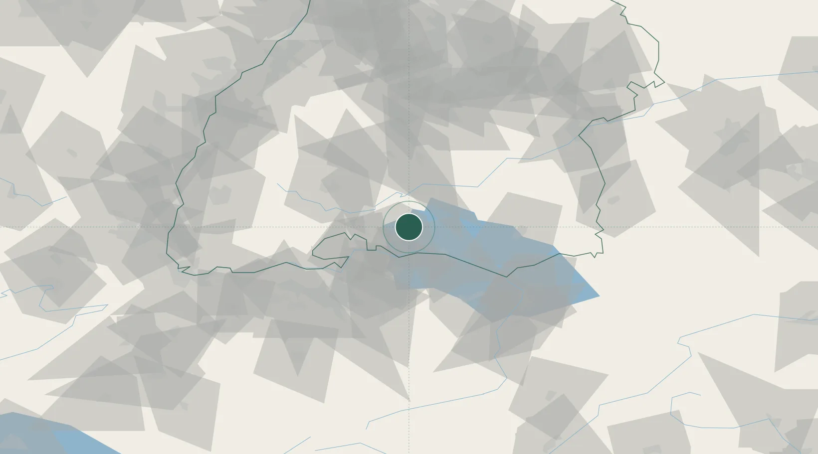
Orsingen-Nenzingen
47.8333°, 8.9667°
3,093
Population
3
Transport functions
Transport Functions
Rail
Road
Multimodal
Hub Profile
Place type
Local administrative seat
Region
Baden-Wurttemberg
Population
3,093
Time zone
Europe/Berlin
Elevation
460 m
Location
Nearby Logistics Neighbours
Cities
- 1Stockach4 km
- 2Steisslingen5 km
- 3Malmsheim5 km
- 4Eigeltingen6 km
- 5Singen11 km
Ports
- 1Porto Di Lido-Venezia377 km
- 2Genova382 km
- 3Porto Di Chioggia385 km
- 4Savona393 km
- 5Chiavari - Lavagna393 km
Airports
Trade Zones
- 1ZFU Neuhof119 km
- 2ZFU Mulhouse122 km
- 3ZFU Hautepierre127 km
- 4ZFU Belfort163 km
- 5ZFU Montbéliard167 km
DatabookThe Record of Consolidated Knowledge
Germany beyond logistics?