Transport Functions
Port
Rail
Road
Hub Profile
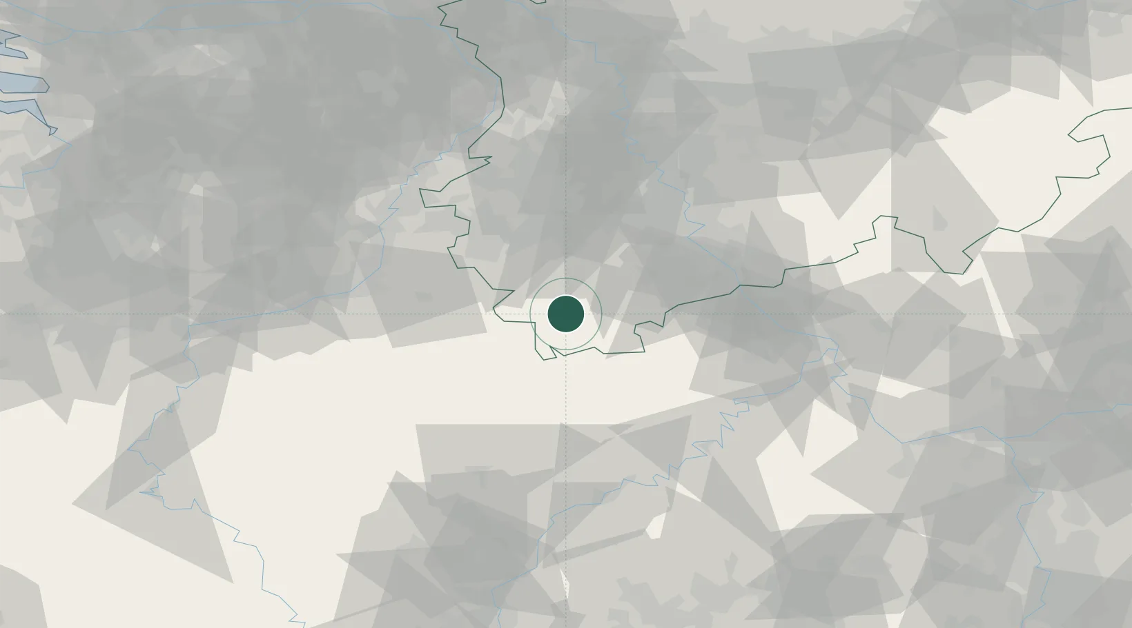
Place type
Populated place
Region
North Rhine-Westphalia
Population
14,160
Time zone
Europe/Berlin
Elevation
367 m
Location
Nearby Logistics Neighbours
Cities
- 1Hellenthal4 km
- 2Steinfeld7 km
- 3Blankenheim16 km
- 4Dahlem16 km
- 5Nidrum20 km
Airports
- 1Nörvenich Air Base38 km
- 2Büchel Air Base57 km
- 3Geilenkirchen Air Base58 km
- 4Cologne Bonn Airport61 km
- 5Spangdahlem Air Base62 km
Trade Zones
- 1Rheinische Revier SWZ44 km
- 2Luxembourg Free Port99 km
- 3Freeport of Duisburg104 km
- 4ZFU Ronde Couture151 km
- 5ZFU Woippy-Metz154 km
DatabookThe Record of Consolidated Knowledge
Germany beyond logistics?