Transport Functions
Port
Road
Hub Profile
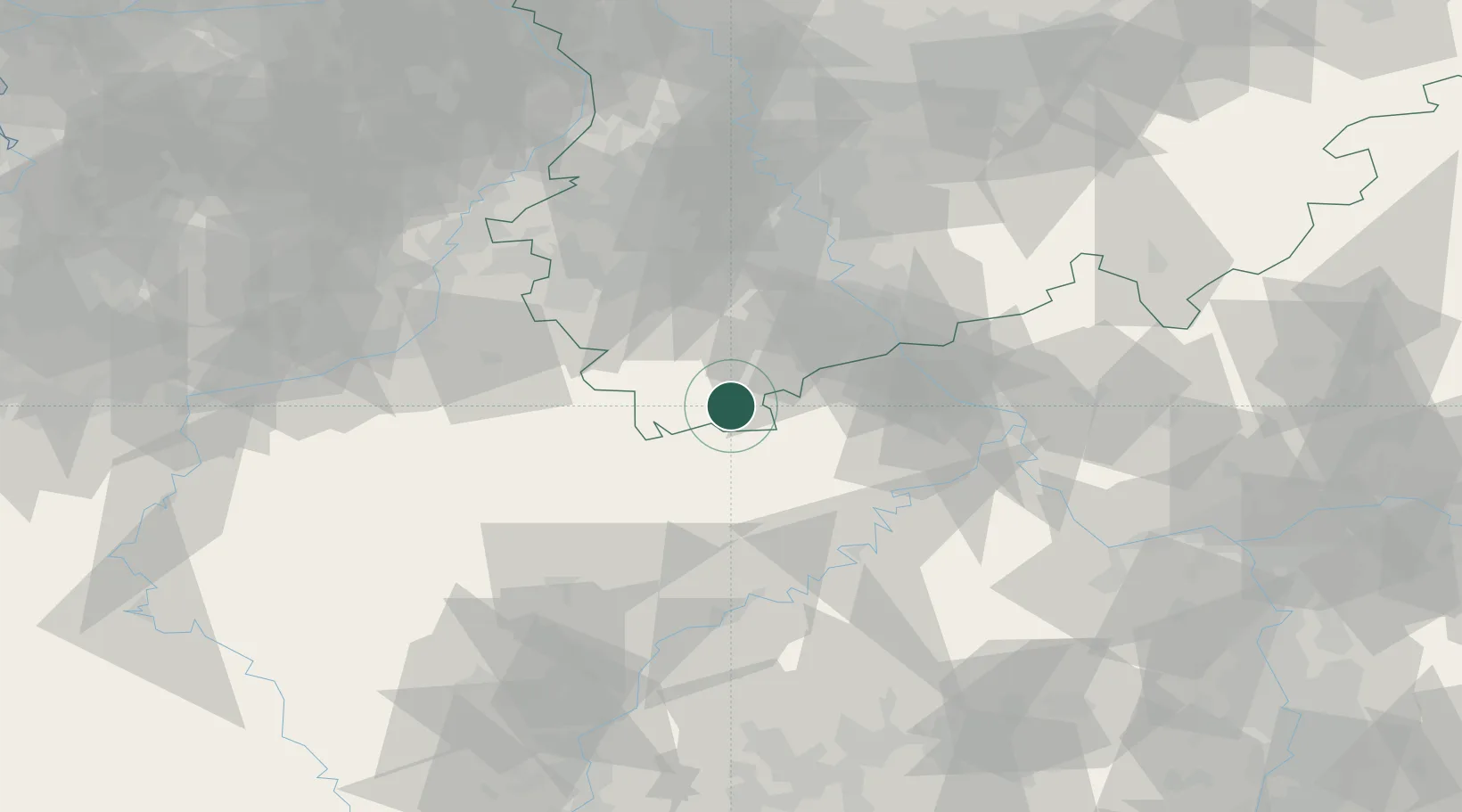
Place type
Local administrative seat
Region
North Rhine-Westphalia
Population
8,770
Time zone
Europe/Berlin
Elevation
518 m
Location
Nearby Logistics Neighbours
Airports
- 1Büchel Air Base41 km
- 2Nörvenich Air Base44 km
- 3Spangdahlem Air Base51 km
- 4Cologne Bonn Airport59 km
- 5Frankfurt-Hahn Airport70 km
Trade Zones
- 1Rheinische Revier SWZ56 km
- 2Luxembourg Free Port93 km
- 3Freeport of Duisburg113 km
- 4ZFU La Cité Behren-lès-Forbach142 km
- 5ZFU Woippy-Metz147 km
DatabookThe Record of Consolidated Knowledge
Germany beyond logistics?