Transport Functions
Road
Multimodal
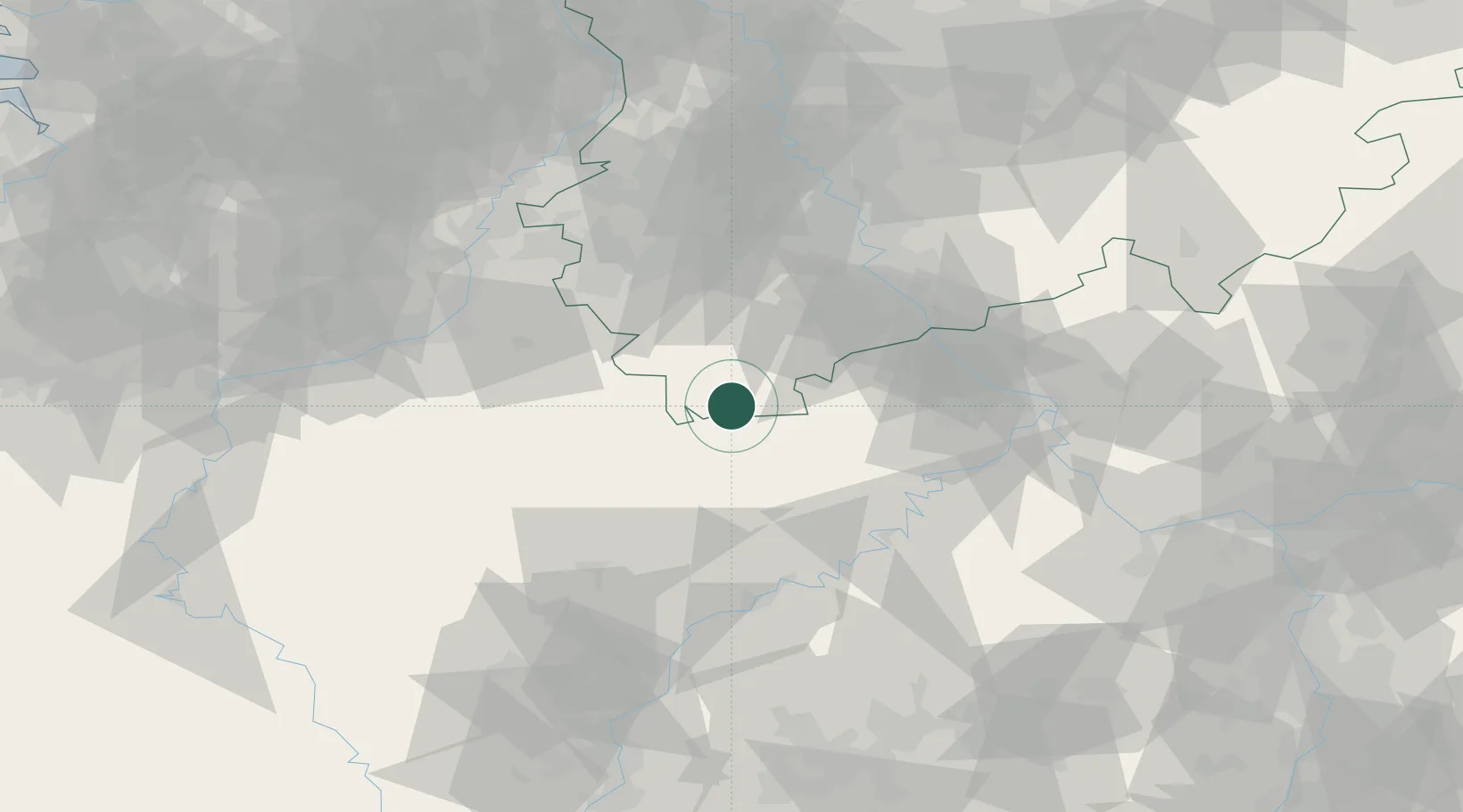
Hub Profile
Place type
Local administrative seat
Region
North Rhine-Westphalia
Population
4,221
Time zone
Europe/Berlin
Elevation
493 m
Location
Nearby Logistics Neighbours
Cities
- 1Jünkerath6 km
- 2Blankenheim9 km
- 3Oberbettingen13 km
- 4Steinfeld13 km
- 5Hellenthal14 km
Airports
- 1Büchel Air Base43 km
- 2Spangdahlem Air Base47 km
- 3Nörvenich Air Base50 km
- 4Cologne Bonn Airport68 km
- 5Frankfurt-Hahn Airport70 km
Trade Zones
- 1Rheinische Revier SWZ60 km
- 2Luxembourg Free Port86 km
- 3Freeport of Duisburg118 km
- 4ZFU La Cité Behren-lès-Forbach138 km
- 5ZFU Woippy-Metz140 km
DatabookThe Record of Consolidated Knowledge
Germany beyond logistics?