Transport Functions
Rail
Road
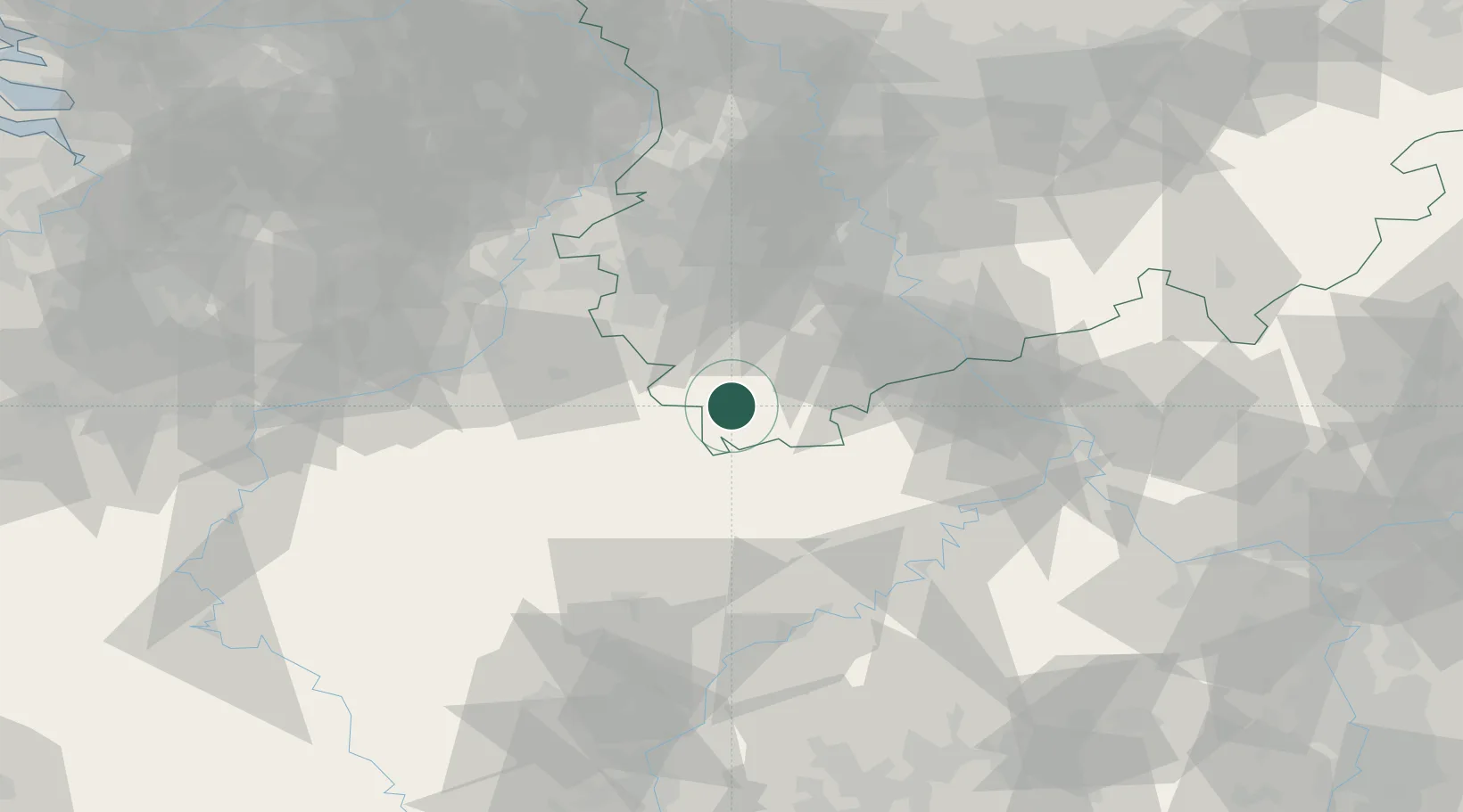
Hub Profile
Place type
Local administrative seat
Region
North Rhine-Westphalia
Population
8,582
Time zone
Europe/Berlin
Elevation
416 m
Location
Nearby Logistics Neighbours
Cities
- 1Schleiden4 km
- 2Steinfeld10 km
- 3Dahlem14 km
- 4Blankenheim16 km
- 5Nidrum17 km
Airports
- 1Nörvenich Air Base42 km
- 2Büchel Air Base56 km
- 3Spangdahlem Air Base59 km
- 4Geilenkirchen Air Base60 km
- 5Cologne Bonn Airport66 km
Trade Zones
- 1Rheinische Revier SWZ48 km
- 2Luxembourg Free Port95 km
- 3Freeport of Duisburg108 km
- 4ZFU Ronde Couture147 km
- 5ZFU Woippy-Metz150 km
DatabookThe Record of Consolidated Knowledge
Germany beyond logistics?