Transport Functions
Multimodal
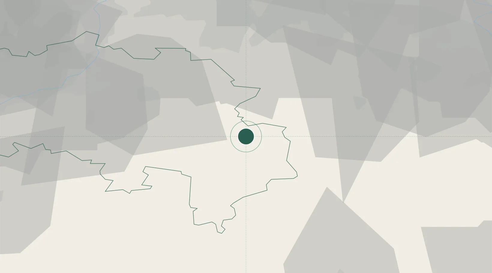
Hub Profile
Place type
Populated place
Region
Wallonia
Time zone
Europe/Brussels
Elevation
556 m
Location
Nearby Logistics Neighbours
Cities
- 1Hellenthal17 km
- 2Schleiden20 km
- 3Roetgen22 km
- 4Spa24 km
- 5Trois-Ponts25 km
Airports
- 1Nörvenich Air Base53 km
- 2Liège Airport57 km
- 3Geilenkirchen Air Base58 km
- 4Maastricht Aachen Airport60 km
- 5Spangdahlem Air Base64 km
Trade Zones
- 1Rheinische Revier SWZ53 km
- 2Luxembourg Free Port90 km
- 3Freeport of Duisburg114 km
- 4ZFU Ronde Couture132 km
- 5ZFU Woippy-Metz145 km
DatabookThe Record of Consolidated Knowledge
Belgium beyond logistics?