Transport Functions
Multimodal
Hub Profile
Place type
Populated place
Region
Baden-Wurttemberg
Population
4,132
Time zone
Europe/Berlin
Elevation
208 m
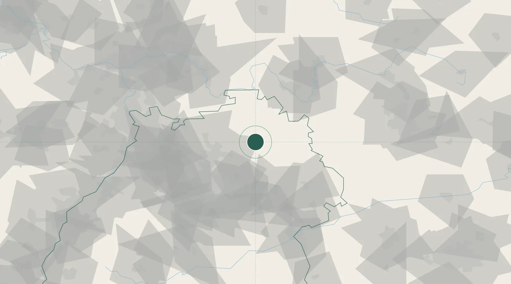
Location
Nearby Logistics Neighbours
Cities
- 1Weissbach (Hohenlohe)2 km
- 2Künzelsau5 km
- 3Kupferzell9 km
- 4Schöntal10 km
- 5Jagsthausen11 km
Airports
- 1Adolf Würth Airport22 km
- 2Niederstetten Army Air Base27 km
- 3Stuttgart Airport72 km
- 4Mannheim-City Airport83 km
- 5Frankfurt-Egelsbach Airport103 km
Trade Zones
- 1ZFU Neuhof159 km
- 2ZFU Hautepierre160 km
- 3ZFU La Cité Behren-lès-Forbach196 km
- 4ZFU Mulhouse239 km
- 5Luxembourg Free Port249 km
DatabookThe Record of Consolidated Knowledge
Germany beyond logistics?