Transport Functions
Multimodal
Hub Profile
Place type
Local administrative seat
Region
North Rhine-Westphalia
Population
10,231
Time zone
Europe/Berlin
Elevation
63 m
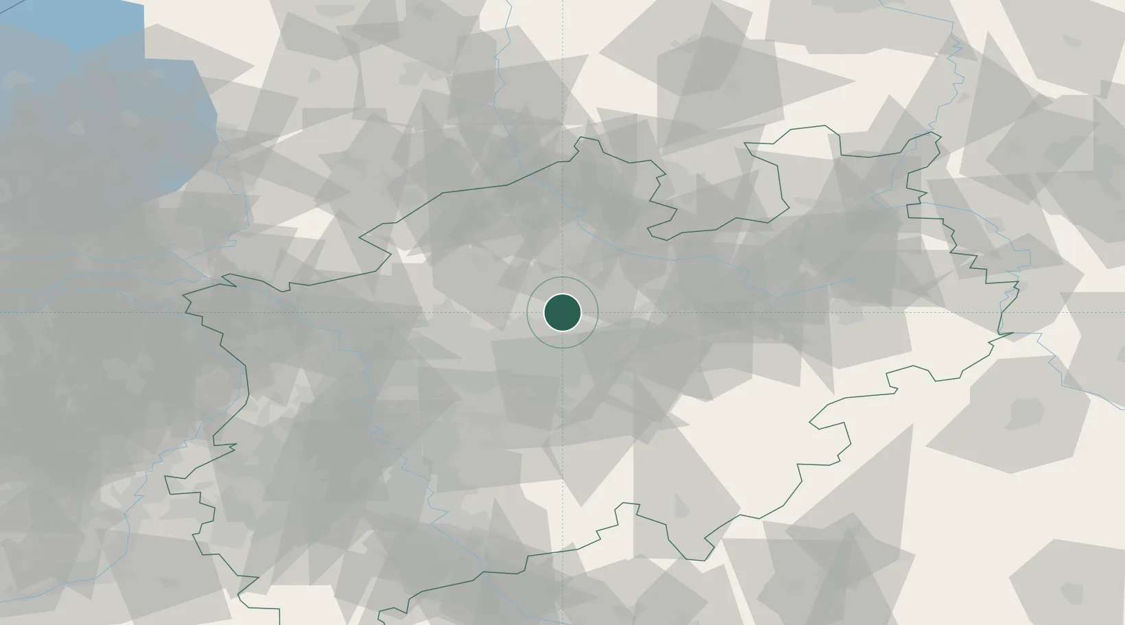
Location
Nearby Logistics Neighbours
Cities
- 1Rünthe14 km
- 2Hiddingsel14 km
- 3Waltrop14 km
- 4Drensteinfurt16 km
- 5Amelsbüren17 km
Airports
- 1Dortmund Airport25 km
- 2Münster Osnabrück Airport46 km
- 3Düsseldorf Airport73 km
- 4Bielefeld Airport74 km
- 5Twente Airport75 km
Trade Zones
DatabookThe Record of Consolidated Knowledge
Germany beyond logistics?