Transport Functions
Multimodal
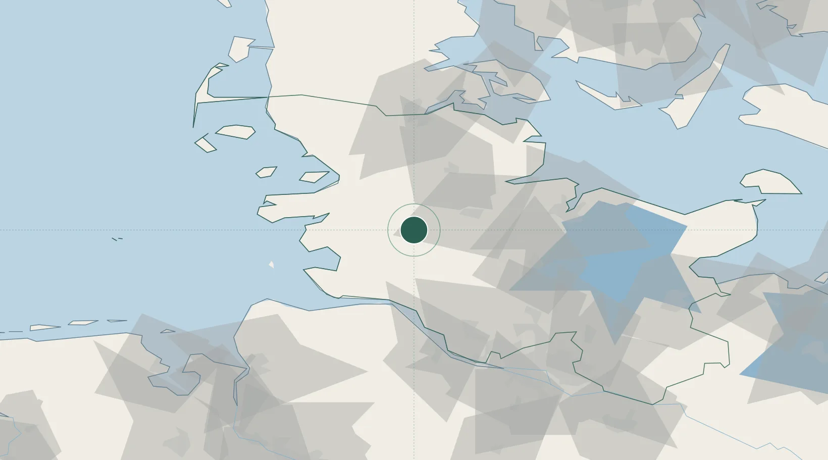
Hub Profile
Place type
Local administrative seat
Region
Schleswig-Holstein
Population
792
Time zone
Europe/Berlin
Elevation
11 m
Location
Nearby Logistics Neighbours
Cities
- 1Eiderdeich6 km
- 2Pahlhude6 km
- 3Elsdorf-Westermühlen9 km
- 4Kollund Mole12 km
- 5Rehm-Flehde-Bargen15 km
Ports
- 1Rendsburg21 km
- 2Husum35 km
- 3Busum35 km
- 4Itzehoe36 km
- 5Eckernforde40 km
Airports
- 1Hohn Air Base13 km
- 2Schleswig Air Base27 km
- 3Heide-Büsum Airport33 km
- 4Kiel-Holtenau Airport52 km
- 5Uetersen-Heist Airfield69 km
Trade Zones
DatabookThe Record of Consolidated Knowledge
Germany beyond logistics?