Transport Functions
Port
Road
Hub Profile
Place type
Farm village
Region
Schleswig-Holstein
Time zone
Europe/Berlin
Elevation
4 m
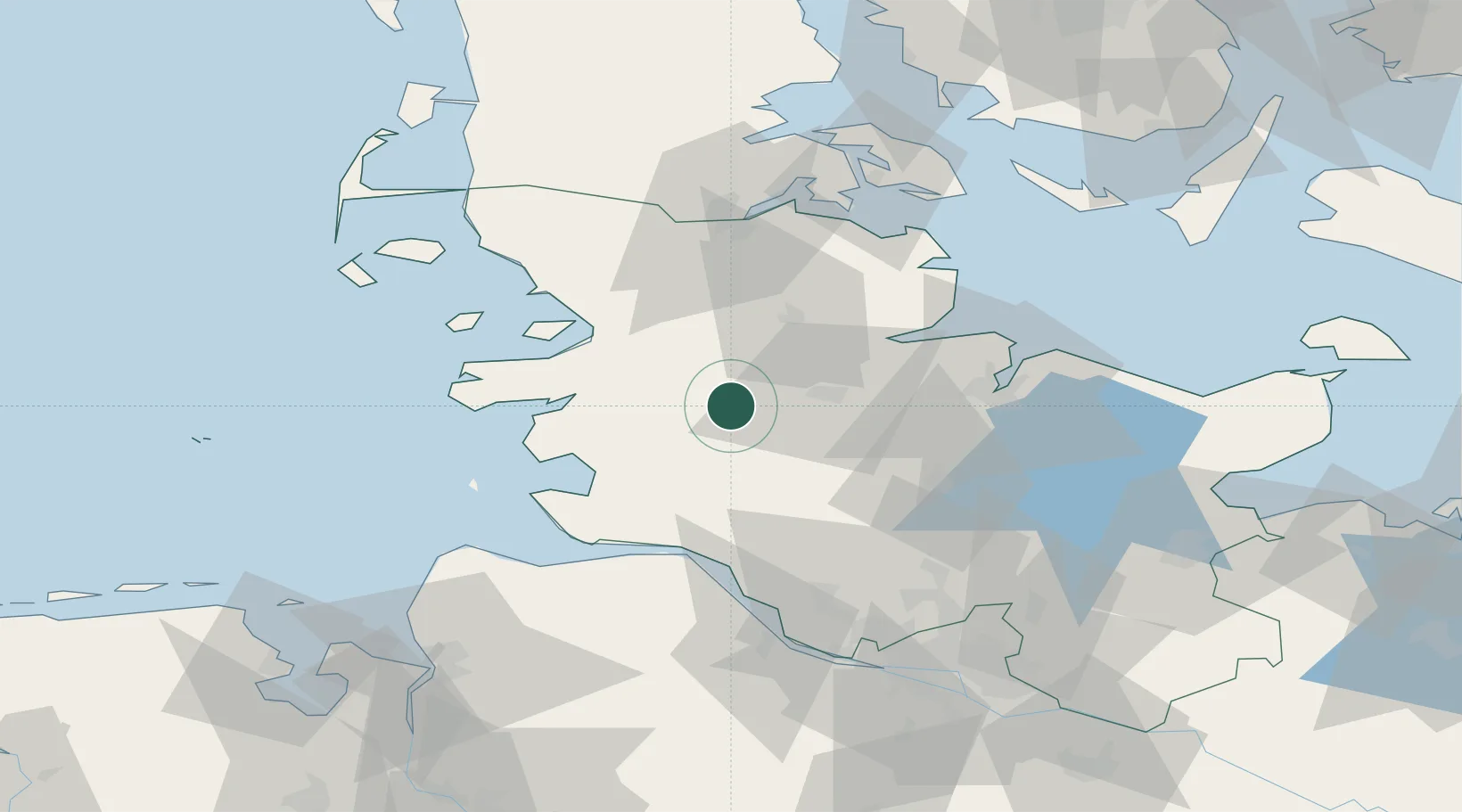
Location
Nearby Logistics Neighbours
Cities
- 1Dellstedt6 km
- 2Pahlhude6 km
- 3Kollund Mole6 km
- 4Elsdorf-Westermühlen8 km
- 5Rehm-Flehde-Bargen15 km
Ports
- 1Rendsburg19 km
- 2Husum32 km
- 3Eckernforde36 km
- 4Busum39 km
- 5Itzehoe42 km
Airports
- 1Hohn Air Base10 km
- 2Schleswig Air Base21 km
- 3Heide-Büsum Airport36 km
- 4Kiel-Holtenau Airport50 km
- 5Uetersen-Heist Airfield74 km
Trade Zones
DatabookThe Record of Consolidated Knowledge
Germany beyond logistics?