Transport Functions
Port
Hub Profile
Place type
Urban district
Region
Schleswig-Holstein
Time zone
Europe/Berlin
Elevation
8 m
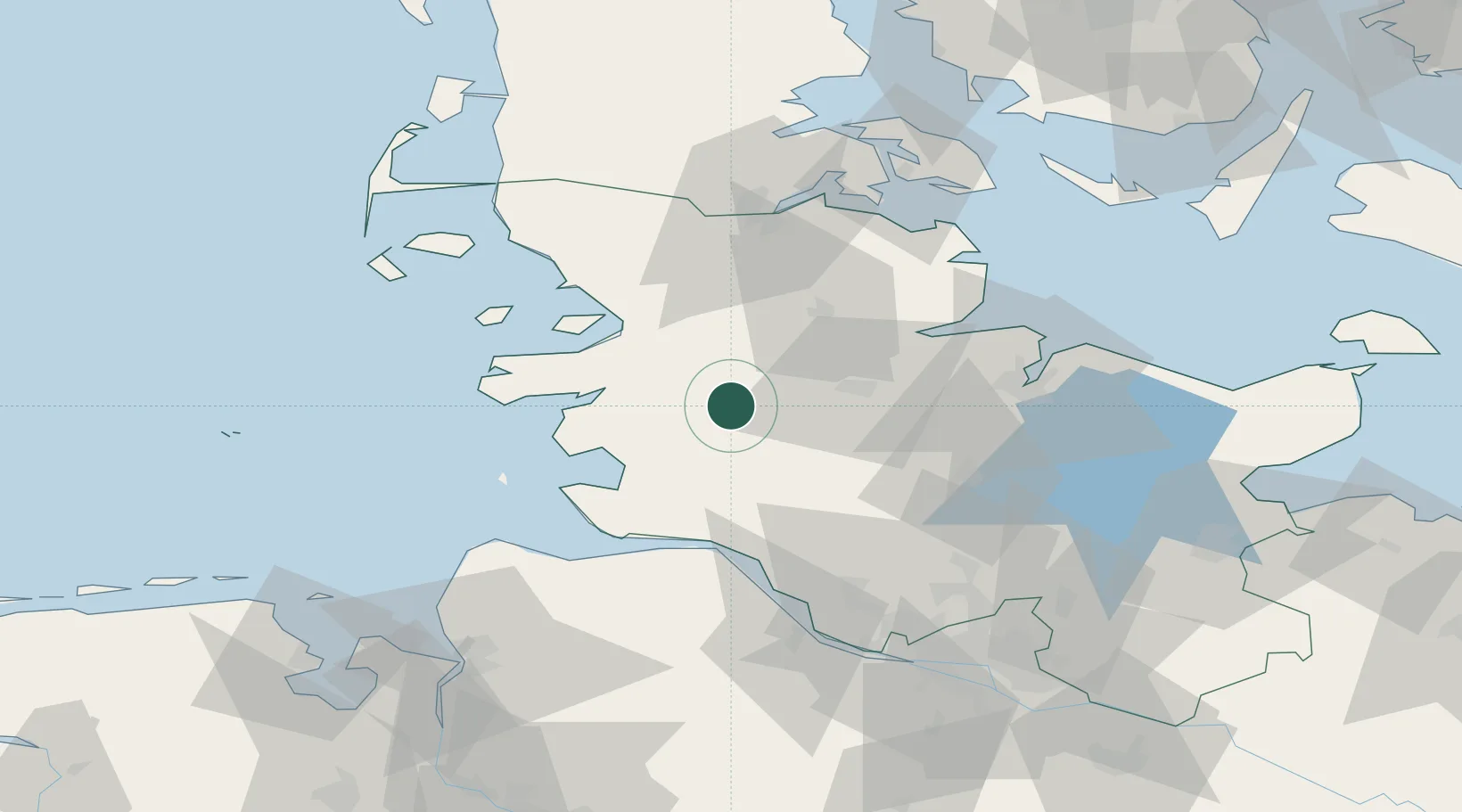
Location
Nearby Logistics Neighbours
Cities
- 1Dellstedt6 km
- 2Eiderdeich6 km
- 3Rehm-Flehde-Bargen10 km
- 4Kollund Mole11 km
- 5Elsdorf-Westermühlen13 km
Ports
- 1Rendsburg24 km
- 2Husum30 km
- 3Busum33 km
- 4Itzehoe41 km
- 5Eckernforde41 km
Airports
Trade Zones
DatabookThe Record of Consolidated Knowledge
Germany beyond logistics?