Transport Functions
Road
Multimodal
Hub Profile
Place type
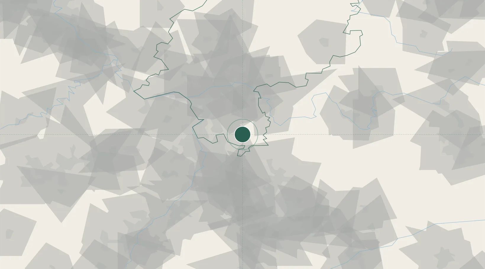
Populated place
Region
Hesse
Time zone
Europe/Berlin
Elevation
395 m
Location
Nearby Logistics Neighbours
Cities
- 1Fürth7 km
- 2Ober-Abtsteinach11 km
- 3Birkenau12 km
- 4Fraenkisch Crumbach13 km
- 5Rothenberg (Odenwaldkreis)14 km
Airports
- 1Mannheim-City Airport30 km
- 2Frankfurt-Egelsbach Airport41 km
- 3Frankfurt Main Airport51 km
- 4Wiesbaden Army Airfield62 km
- 5Mainz-Finthen Airfield65 km
Trade Zones
- 1ZFU Hautepierre142 km
- 2ZFU Neuhof144 km
- 3ZFU La Cité Behren-lès-Forbach149 km
- 4Luxembourg Free Port191 km
- 5ZFU Woippy-Metz203 km
DatabookThe Record of Consolidated Knowledge
Germany beyond logistics?