Transport Functions
Port
Multimodal
Hub Profile
Place type
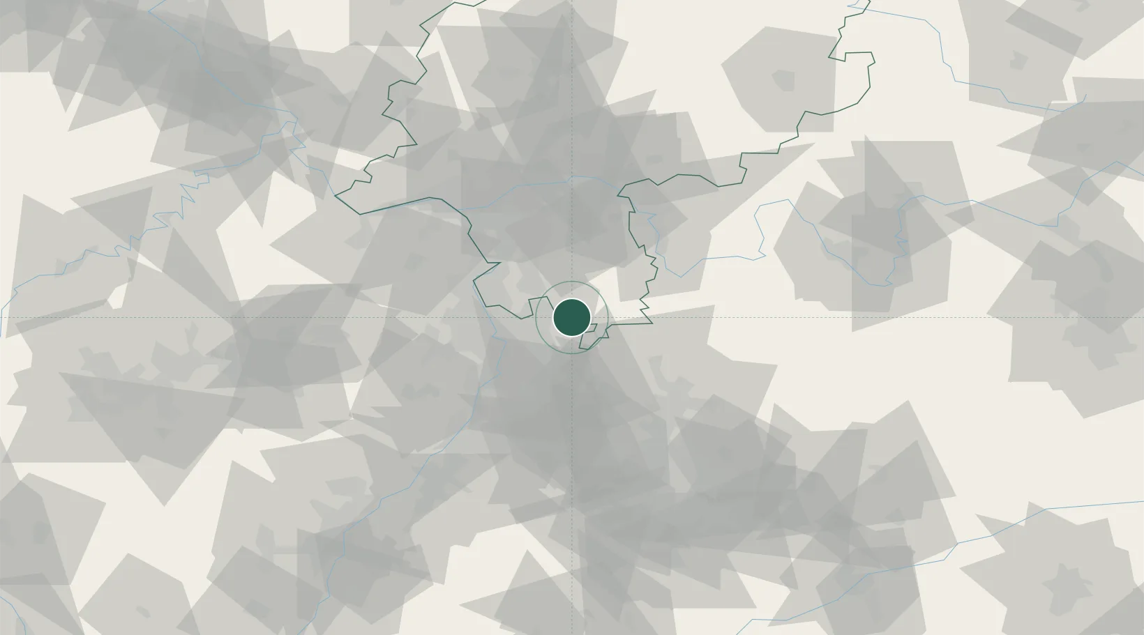
Populated place
Region
Hesse
Time zone
Europe/Berlin
Elevation
481 m
Location
Nearby Logistics Neighbours
Cities
- 1Birkenau6 km
- 2Hirschberg10 km
- 3Rothenberg (Odenwaldkreis)10 km
- 4Gras-Ellenbach11 km
- 5Leutershausen11 km
Airports
- 1Mannheim-City Airport21 km
- 2Frankfurt-Egelsbach Airport49 km
- 3Frankfurt Main Airport57 km
- 4Wiesbaden Army Airfield66 km
- 5Mainz-Finthen Airfield67 km
Trade Zones
- 1ZFU Hautepierre131 km
- 2ZFU Neuhof133 km
- 3ZFU La Cité Behren-lès-Forbach141 km
- 4Luxembourg Free Port185 km
- 5ZFU Woippy-Metz196 km
DatabookThe Record of Consolidated Knowledge
Germany beyond logistics?