Transport Functions
Port
Rail
Road
Hub Profile
Place type
Urban district
Region
Saxony-Anhalt
Population
4,000
Time zone
Europe/Berlin
Elevation
72 m
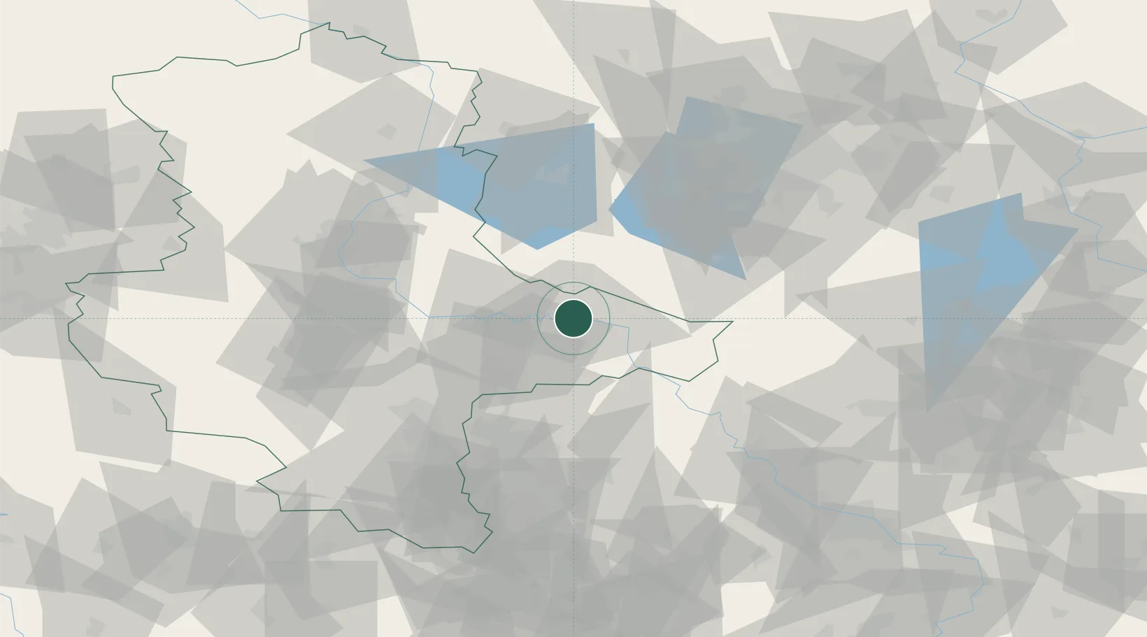
Location
Nearby Logistics Neighbours
Cities
- 1Lutherstadt Wittenberg3 km
- 2Bergwitz8 km
- 3Coswig11 km
- 4Gallin11 km
- 5Zahna14 km
Ports
- 1Szczecin217 km
- 2Police231 km
- 3Wismar239 km
- 4Rostock250 km
- 5Swinoujscie254 km
Airports
- 1Zerbst Airfield34 km
- 2Holzdorf Air Base41 km
- 3Leipzig/Halle Airport56 km
- 4Berlin Brandenburg Airport83 km
- 5Leipzig–Altenburg Airport99 km
Trade Zones
- 1Kostrzyń-Słubice SEZ161 km
- 2Most - Joseph Industrial Zone170 km
- 3Žatec - Triangle Strategic Industrial Zone176 km
- 4Podbořany Industrial Zone191 km
- 5Szczecin Duty Free Zone218 km
DatabookThe Record of Consolidated Knowledge
Germany beyond logistics?