Transport Functions
Port
Road
Hub Profile
Place type
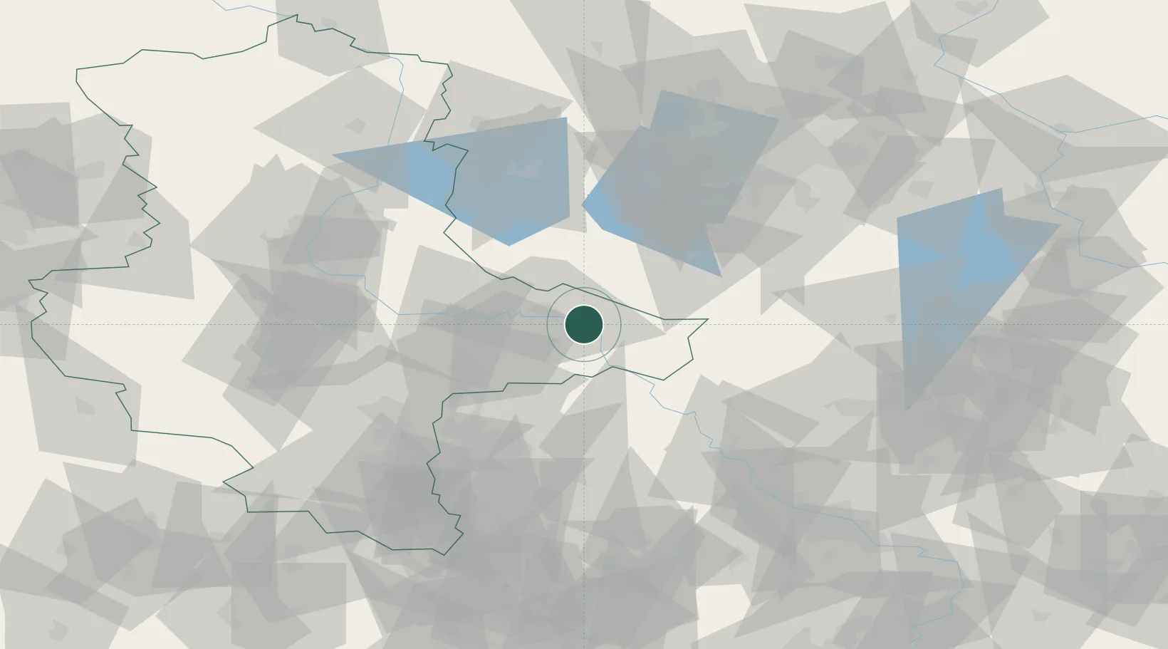
Populated place
Region
Saxony-Anhalt
Time zone
Europe/Berlin
Elevation
70 m
Location
Nearby Logistics Neighbours
Cities
- 1Elster6 km
- 2Lutherstadt Wittenberg8 km
- 3Zahna10 km
- 4Piesteritz11 km
- 5Bergwitz12 km
Ports
- 1Szczecin214 km
- 2Police228 km
- 3Wismar245 km
- 4Swinoujscie253 km
- 5Rostock255 km
Airports
- 1Holzdorf Air Base30 km
- 2Zerbst Airfield45 km
- 3Leipzig/Halle Airport58 km
- 4Berlin Brandenburg Airport78 km
- 5Leipzig–Altenburg Airport96 km
Trade Zones
- 1Kostrzyń-Słubice SEZ154 km
- 2Most - Joseph Industrial Zone162 km
- 3Žatec - Triangle Strategic Industrial Zone169 km
- 4Podbořany Industrial Zone184 km
- 5Szczecin Duty Free Zone215 km
DatabookThe Record of Consolidated Knowledge
Germany beyond logistics?