Transport Functions
Rail
Road
Multimodal
Hub Profile
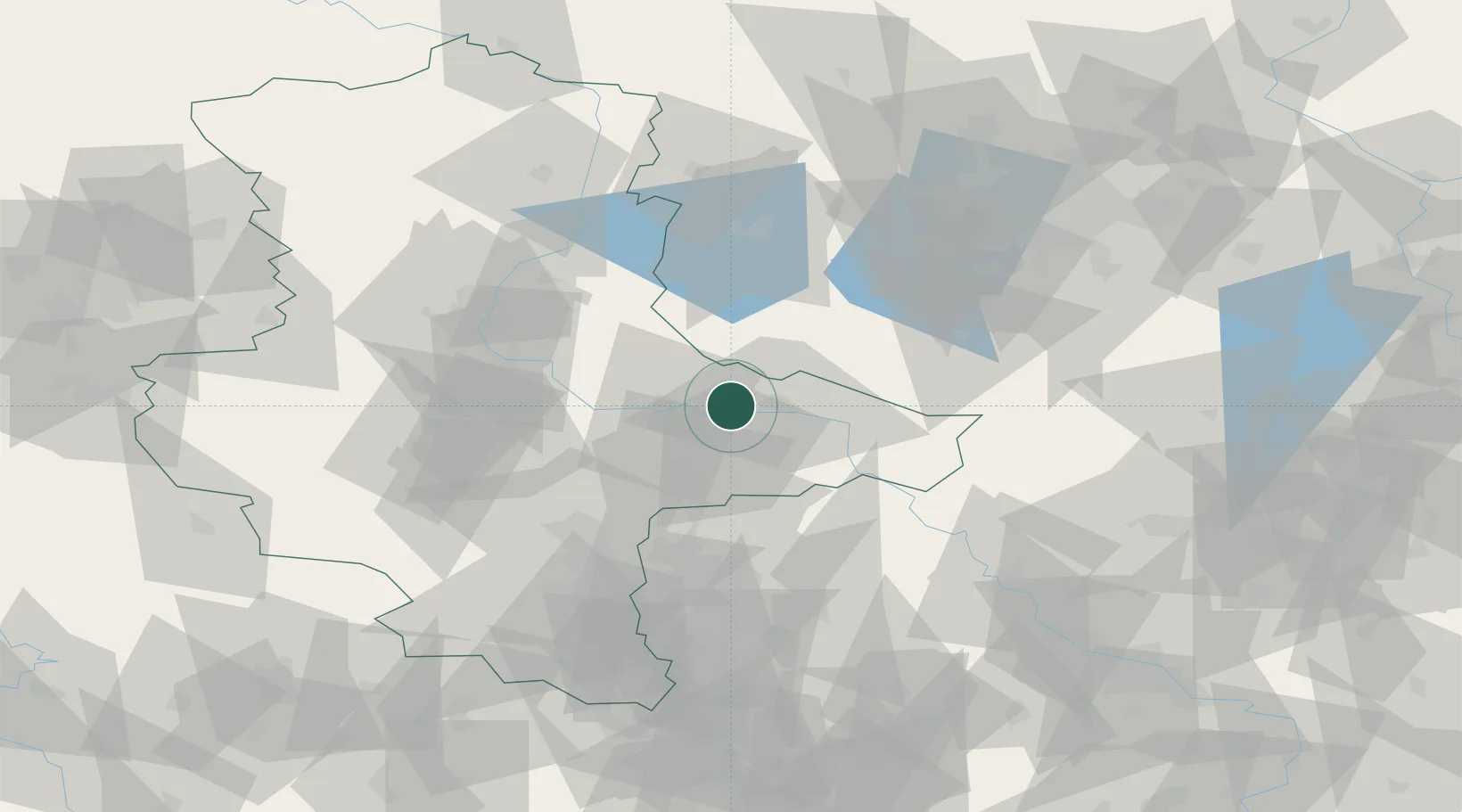
Place type
Populated place
Region
Saxony-Anhalt
Population
8,495
Time zone
Europe/Berlin
Elevation
78 m
Location
Nearby Logistics Neighbours
Cities
- 1Oranienbaum10 km
- 2Piesteritz11 km
- 3Bergwitz13 km
- 4Lutherstadt Wittenberg14 km
- 5Dessau-Rosslau15 km
Airports
- 1Zerbst Airfield24 km
- 2Holzdorf Air Base51 km
- 3Leipzig/Halle Airport54 km
- 4Berlin Brandenburg Airport89 km
- 5Leipzig–Altenburg Airport100 km
Trade Zones
- 1Kostrzyń-Słubice SEZ169 km
- 2Most - Joseph Industrial Zone176 km
- 3Žatec - Triangle Strategic Industrial Zone182 km
- 4Podbořany Industrial Zone196 km
- 5Szczecin Duty Free Zone223 km
DatabookThe Record of Consolidated Knowledge
Germany beyond logistics?