Transport Functions
Multimodal
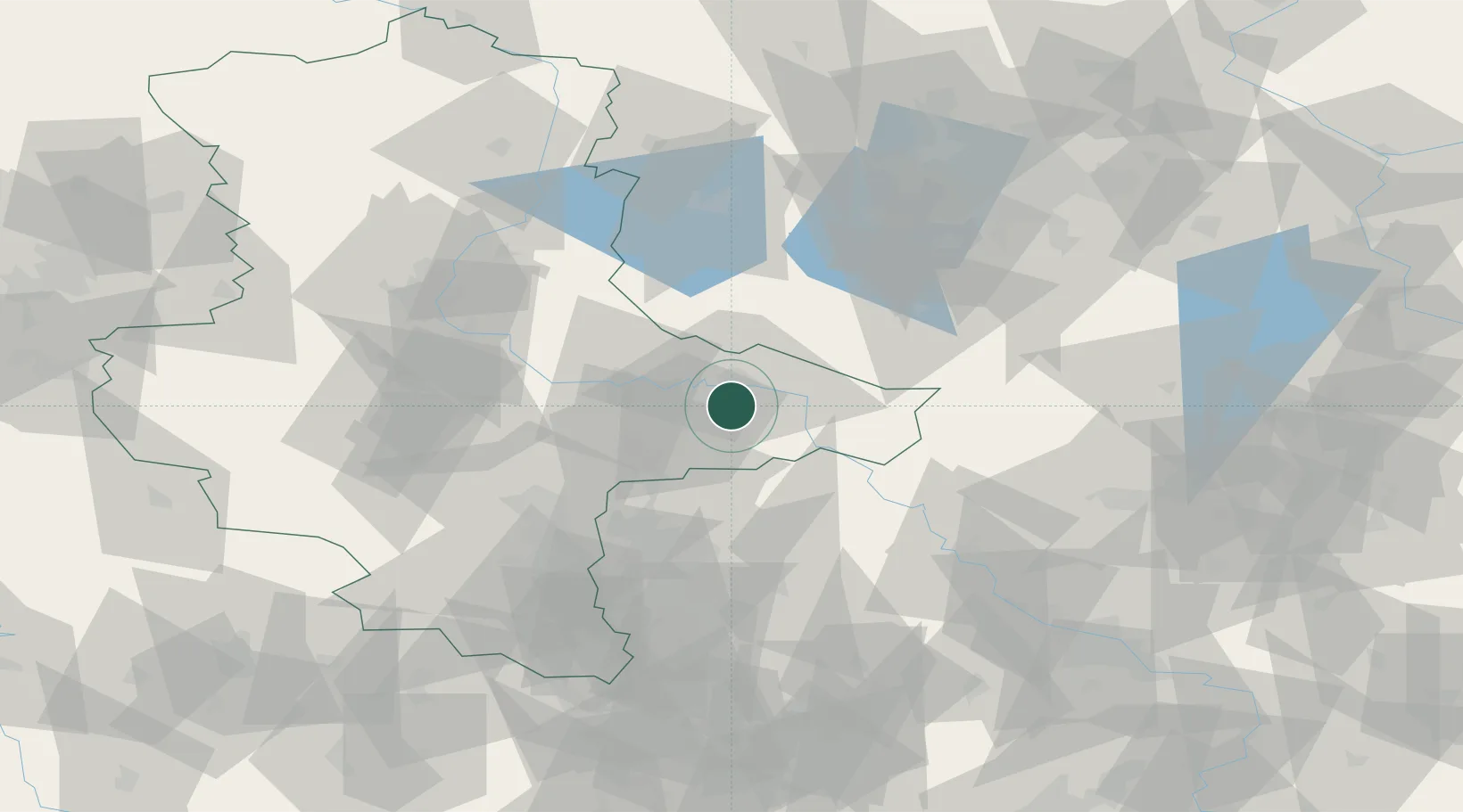
Hub Profile
Place type
Populated place
Region
Saxony-Anhalt
Population
1,679
Time zone
Europe/Berlin
Elevation
69 m
Location
Nearby Logistics Neighbours
Cities
- 1Piesteritz8 km
- 2Lutherstadt Wittenberg9 km
- 3Gallin12 km
- 4Oranienbaum13 km
- 5Coswig13 km
Ports
- 1Szczecin224 km
- 2Police238 km
- 3Wismar245 km
- 4Rostock258 km
- 5Swinoujscie261 km
Airports
- 1Zerbst Airfield37 km
- 2Holzdorf Air Base40 km
- 3Leipzig/Halle Airport49 km
- 4Berlin Brandenburg Airport89 km
- 5Leipzig–Altenburg Airport91 km
Trade Zones
- 1Most - Joseph Industrial Zone164 km
- 2Kostrzyń-Słubice SEZ166 km
- 3Žatec - Triangle Strategic Industrial Zone170 km
- 4Podbořany Industrial Zone184 km
- 5Szczecin Duty Free Zone225 km
DatabookThe Record of Consolidated Knowledge
Germany beyond logistics?