Transport Functions
Port
Rail
Road
Multimodal
Hub Profile
Place type
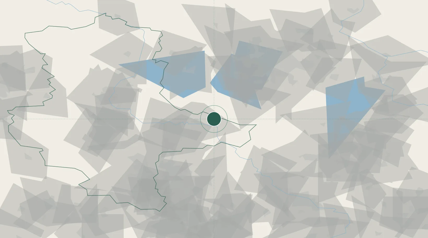
Populated place
Region
Saxony-Anhalt
Population
3,623
Time zone
Europe/Berlin
Elevation
91 m
Location
Nearby Logistics Neighbours
Cities
- 1Gallin10 km
- 2Elster10 km
- 3Lutherstadt Wittenberg11 km
- 4Piesteritz14 km
- 5Niedergörsdorf17 km
Ports
- 1Szczecin205 km
- 2Police219 km
- 3Wismar238 km
- 4Swinoujscie244 km
- 5Wolgast247 km
Airports
- 1Holzdorf Air Base31 km
- 2Zerbst Airfield45 km
- 3Leipzig/Halle Airport67 km
- 4Berlin Brandenburg Airport70 km
- 5Leipzig–Altenburg Airport106 km
Trade Zones
- 1Kostrzyń-Słubice SEZ147 km
- 2Most - Joseph Industrial Zone170 km
- 3Žatec - Triangle Strategic Industrial Zone177 km
- 4Podbořany Industrial Zone193 km
- 5Szczecin Duty Free Zone206 km
DatabookThe Record of Consolidated Knowledge
Germany beyond logistics?