Transport Functions
Multimodal
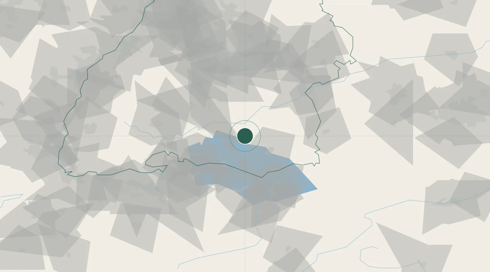
Hub Profile
Place type
Local administrative seat
Region
Baden-Wurttemberg
Population
6,841
Time zone
Europe/Berlin
Elevation
610 m
Location
Nearby Logistics Neighbours
Cities
- 1Denkingen8 km
- 2Bad Saulgau11 km
- 3Herbertingen14 km
- 4Sigmaringendorf16 km
- 5Heiligenberg16 km
Ports
- 1Porto Di Lido-Venezia365 km
- 2Porto Di Chioggia375 km
- 3Nogaro377 km
- 4Grado389 km
- 5Genova397 km
Airports
Trade Zones
- 1ZFU Neuhof137 km
- 2ZFU Hautepierre144 km
- 3ZFU Mulhouse154 km
- 4Livigno Free Trade Zone167 km
- 5ZFU Belfort196 km
DatabookThe Record of Consolidated Knowledge
Germany beyond logistics?